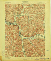
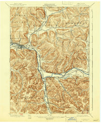
1900 Map of Salamanca
USGS Topo · Published 1903About this map
The Allegheny Indian Reservation dominates the central river valley of this late 19th-century survey, following the winding path of the Allegheny River through Cattaraugus County. A significant transportation hub at the turn of the century, Salamanca and Salamanca Junction serve as the meeting point for several major rail lines, including the Erie R. R. and the Buffalo Rochester and Pittsburgh. These industrial arteries parallel the natural waterways, connecting timber and freight routes through the steep, dissected terrain of Humphrey and Carrollton.
Find a feature on this map
71 named features on this map. Tap any name to fly to it.
Don’t see what you’re looking for? This feature index may not catch every label — zoom into the map to look around manually.
Map Details
Editions of this 1900 Salamanca Map
6 editions found
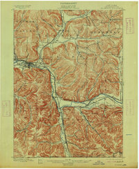
Other maps of this area

1898 · Olean
USGS Topo · 1:62,500

1900 · Salamanca
USGS Topo · 1:62,500

1922 · Randolph
USGS Topo · 1:62,500

1923 · Randolph
USGS Topo · 1:62,500

1923 · Cattaraugus
USGS Topo · 1:62,500

1924 · Ellicottville
USGS Topo · 1:62,500

1924 · Bradford
USGS Topo · 1:62,500

1924 · Franklinville
USGS Topo · 1:62,500

1926 · Bradford
USGS Topo · 1:62,500

1933 · Smethport
USGS Topo · 1:62,500