
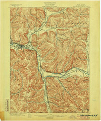
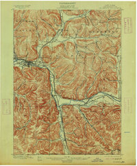
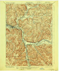
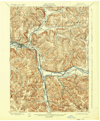
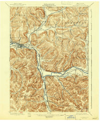
1900 Map of Salamanca
USGS Topo · Published 1900About this map
The Allegheny River valley forms the geographic heart of this turn-of-the-century Cattaraugus County landscape, which is largely defined by the Allegheny Indian Reservation corridor. This era was a peak moment for the region’s timber and rail economy, centered on the major hub at Salamanca. The map captures a dense network of steam-era transportation, including the Erie R. R. and the Buffalo Rochester and Pittsburg lines, which followed the river and its tributaries like Tunungwant Creek. Numerous small settlements and rail-dependent hamlets such as Irvine Mills, Killbuck, and Limestone are shown before the shifts of the 20th century. To the north, the hills of Humphrey and Little Valley are deeply dissected by names like Mutton Hollow and Bear Hollow, reflecting a rugged topography that confined development to the fertile valley floors and railroad junctions like Riverside Junction.
Find a feature on this map
63 named features on this map. Tap any name to fly to it.
Don’t see what you’re looking for? This feature index may not catch every label — zoom into the map to look around manually.
Map Details
Editions of this 1900 Salamanca Map
6 editions found
Other maps of this area

1898 · Olean
USGS Topo · 1:62,500

1922 · Randolph
USGS Topo · 1:62,500

1923 · Randolph
USGS Topo · 1:62,500

1923 · Cattaraugus
USGS Topo · 1:62,500

1924 · Ellicottville
USGS Topo · 1:62,500

1924 · Bradford
USGS Topo · 1:62,500

1924 · Franklinville
USGS Topo · 1:62,500

1926 · Bradford
USGS Topo · 1:62,500

1933 · Smethport
USGS Topo · 1:62,500

1936 · Kinzua
USGS Topo · 1:48,000