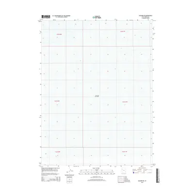
2014 Map of Salduro SE
USGS Topo · Published 2014About this map
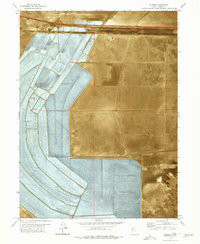
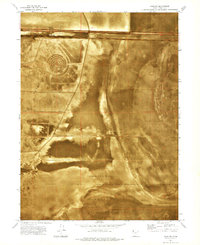
The Great Salt Lake Desert dominates this 2014 survey, illustrating a landscape of extreme flat topography and minimal vegetation in western Tooele County. This specific section is primarily defined by the Public Land Survey System grid, spanning parts of Townships 2 through 4 South and Ranges 17 and 18 West. The lack of cultural features such as roads, buildings, or infrastructure highlights the geological isolation of this region within the Great Basin. As a contemporary record of one of the most arid environments in the United States, the map serves as a baseline for environmental study and salt crust monitoring in an area where the terrain remains largely untouched by modern development.
Find a feature on this map
7 named features on this map. Tap any name to fly to it.
Don’t see what you’re looking for? This feature index may not catch every label — zoom into the map to look around manually.
Map Details
Editions of this 2014 Salduro SE Map
This is the sole edition of this map. No revisions or reprints were ever made.
Other maps of this area

1953 · Tooele
USGS Topo · 1:250,000

1955 · Tooele
USGS Topo · 1:250,000
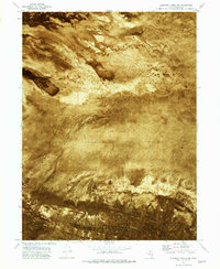
1972 · Elephant Knoll NW
USGS Topo · 1:24,000
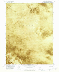
1972 · Elephant Knoll NE
USGS Topo · 1:24,000

1973 · Arinosa
USGS Topo · 1:24,000

1973 · Arinosa SW
USGS Topo · 1:24,000
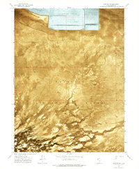
1973 · Salduro SW
USGS Topo · 1:24,000

1973 · Salduro SE
USGS Topo · 1:24,000
1973 · Silsbee
USGS Topo · 1:24,000
1973 · Salduro
USGS Topo · 1:24,000