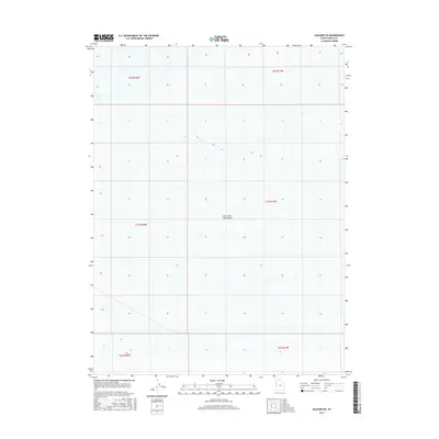
2017 Map of Salduro SE
USGS Topo · Published 2017About this map
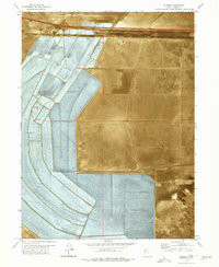
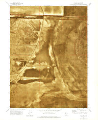
Great Salt Lake Desert dominates this 2017 landscape in Tooele County, Utah, providing a high-resolution look at one of the most starkly unique environments in the American West. The terrain is characterized by an almost perfectly flat expanse of salt crust and sediment, with elevation contours subtly marking the edges of this ancient lakebed. The map illustrates the Public Land Survey System grid, including townships like t3s r17w and t2s r18w, which divide the open salt flats. These boundaries underscore the vast, uninhabited nature of the desert floor, where traditional landmarks are replaced by the sheer scale of the dry lake. The sparse topographic lines reveal the precise leveling of the salt flats, a geographic feature essential for understanding the hydrology and land management of this remote basin.
Find a feature on this map
7 named features on this map. Tap any name to fly to it.
Don’t see what you’re looking for? This feature index may not catch every label — zoom into the map to look around manually.
Map Details
Editions of this 2017 Salduro SE Map
This is the sole edition of this map. No revisions or reprints were ever made.
Other maps of this area

1953 · Tooele
USGS Topo · 1:250,000

1955 · Tooele
USGS Topo · 1:250,000
1972 · Elephant Knoll NW
USGS Topo · 1:24,000
1972 · Elephant Knoll NE
USGS Topo · 1:24,000

1973 · Arinosa
USGS Topo · 1:24,000

1973 · Arinosa SW
USGS Topo · 1:24,000
1973 · Salduro SW
USGS Topo · 1:24,000

1973 · Salduro SE
USGS Topo · 1:24,000
1973 · Silsbee
USGS Topo · 1:24,000
1973 · Salduro
USGS Topo · 1:24,000