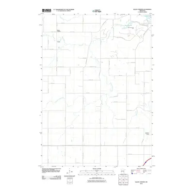
2010 Map of Salem Corners
USGS Topo · Published 2010About this map
Salem Corners serves as the focal point of this western Olmsted County landscape, situated where the terrain transitions toward the expanding outskirts of Rochester. The hydrography is dominated by the South Fork Zumbro River, which flows through the center of the quadrangle and is impounded to form Mayowood Lake at the Mayowood Lake Dam. This drainage system is further fed by Salem Creek, Cascade Creek, and Willow Creek, creating a network of riparian corridors that contrast with the rectilinear grid of county roads and agricultural plots. The southeastern corner of the map captures the infrastructure of the Rochester Municipal Airport, while the Riverside Cemetery near the Zumbro River offers a touchstone for local genealogical research. This survey illustrates the proximity between established rural settlements and the modern transportation and aviation facilities serving the region.
Find a feature on this map
47 named features on this map. Tap any name to fly to it.
Don’t see what you’re looking for? This feature index may not catch every label — zoom into the map to look around manually.
Map Details
Editions of this 2010 Salem Corners Map
This is the sole edition of this map. No revisions or reprints were ever made.
Other maps of this area

1935 · Rochester
USGS Topo · 1:48,000

1939 · Rochester
USGS Topo · 1:62,500

1953 · Saint Paul
USGS Topo · 1:250,000

1954 · Mason City
USGS Topo · 1:250,000

1955 · Stewartville
USGS Topo · 1:62,500

1955 · High Forest
USGS Topo · 1:62,500

1957 · Mason City
USGS Topo · 1:250,000

1958 · Mason City
USGS Topo · 1:250,000

1959 · Saint Paul
USGS Topo · 1:250,000

1965 · Byron
USGS Topo · 1:24,000