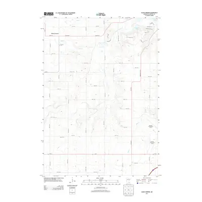
2013 Map of Salem Corners
USGS Topo · Published 2013About this map
Salem Corners and the surrounding Olmsted County countryside are captured here in the early twenty-first century, showing a landscape defined by the transition from rural agricultural plots to suburban expansion near the regional hub of Rochester. The S Fork Zumbro River winds through the center of the sheet, joined by smaller tributaries like Salem Cr and Willow Cr. Established history remains visible at the Riverside Cem and Myhere Farms, while modern infrastructure is anchored by the sprawling grounds of the Rochester International Airport in the southeast. Residential developments such as those around Mayowood Lake and Bamber Lake contrast with the grid-iron rural road system of the southwest, where MN-30 and Co HWY-15 intersect the rolling terrain.
Find a feature on this map
39 named features on this map. Tap any name to fly to it.
Don’t see what you’re looking for? This feature index may not catch every label — zoom into the map to look around manually.
Map Details
Editions of this 2013 Salem Corners Map
This is the sole edition of this map. No revisions or reprints were ever made.
Other maps of this area

1935 · Rochester
USGS Topo · 1:48,000

1939 · Rochester
USGS Topo · 1:62,500

1953 · Saint Paul
USGS Topo · 1:250,000

1954 · Mason City
USGS Topo · 1:250,000

1955 · Stewartville
USGS Topo · 1:62,500

1955 · High Forest
USGS Topo · 1:62,500

1957 · Mason City
USGS Topo · 1:250,000

1958 · Mason City
USGS Topo · 1:250,000

1959 · Saint Paul
USGS Topo · 1:250,000

1965 · Byron
USGS Topo · 1:24,000