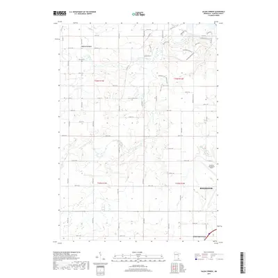
2019 Map of Salem Corners
USGS Topo · Published 2019About this map
Salem Corners serves as a focal point for this section of Olmsted County, situated amidst the complex drainage patterns of the S Fork Zumbro River. The landscape is characterized by its agricultural grid and the winding paths of Cascade Cr and Salem Cr, which cut through the township divisions of T106N and T105N. In the northwest, Riverside Cem sits near the banks of Salem Cr, providing a localized point of interest for genealogical research. The southeastern portion of the map transition into the growing outskirts of Rochester and Stewartville, dominated by the sprawling infrastructure of the Rochester International Airport. This modern survey reflects the intersection of rural heritage and the regional transportation needs of southern Minnesota, tracing the evolution of family lands along Salem Rd SW and various county roads that define the local territory.
Find a feature on this map
68 named features on this map. Tap any name to fly to it.
Don’t see what you’re looking for? This feature index may not catch every label — zoom into the map to look around manually.
Map Details
Editions of this 2019 Salem Corners Map
This is the sole edition of this map. No revisions or reprints were ever made.
Other maps of this area

1935 · Rochester
USGS Topo · 1:48,000

1939 · Rochester
USGS Topo · 1:62,500

1953 · Saint Paul
USGS Topo · 1:250,000

1954 · Mason City
USGS Topo · 1:250,000

1955 · Stewartville
USGS Topo · 1:62,500

1955 · High Forest
USGS Topo · 1:62,500

1957 · Mason City
USGS Topo · 1:250,000

1958 · Mason City
USGS Topo · 1:250,000

1959 · Saint Paul
USGS Topo · 1:250,000

1965 · Byron
USGS Topo · 1:24,000