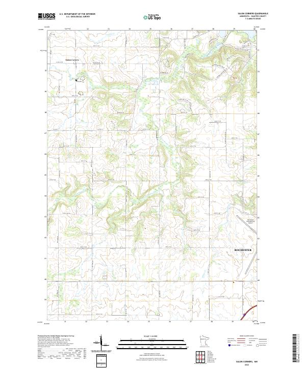
2022 Map of Salem Corners
USGS Topo · Published 2022About this map
The S Fork Zumbro River and its various tributaries, including Salem Cr and Willow Cr, carve a complex drainage pattern across this portion of Olmsted County. The landscape is defined by the proximity of the growing city of Rochester, which extends its influence into the southeastern quadrant near the Rochester International Airport. While the eastern edge shows modern suburban development with street names like Mayowood Hills Dr SW and Mayo Woodlands Rd SW, the western sections retain a more rural character around the small settlement of Salem Corners. Historical continuity is found at Riverside Cem, located along the banks of the Zumbro. This modern survey illustrates the tension between expanding urban infrastructure and the established natural waterways that have long dictated the region's topography.
Find a feature on this map
67 named features on this map. Tap any name to fly to it.
Don’t see what you’re looking for? This feature index may not catch every label — zoom into the map to look around manually.
Map Details
Editions of this 2022 Salem Corners Map
This is the sole edition of this map. No revisions or reprints were ever made.
Other maps of this area

1935 · Rochester
USGS Topo · 1:48,000

1939 · Rochester
USGS Topo · 1:62,500

1953 · Saint Paul
USGS Topo · 1:250,000

1954 · Mason City
USGS Topo · 1:250,000

1955 · Stewartville
USGS Topo · 1:62,500

1955 · High Forest
USGS Topo · 1:62,500

1957 · Mason City
USGS Topo · 1:250,000

1958 · Mason City
USGS Topo · 1:250,000

1959 · Saint Paul
USGS Topo · 1:250,000

1965 · Byron
USGS Topo · 1:24,000