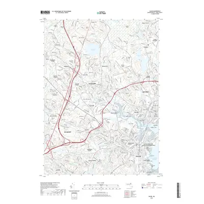
2018 Map of Salem
USGS Topo · Published 2018About this map
Salem and its surrounding North Shore communities appear here in a modern landscape defined by dense residential growth and a commitment to preserving its storied past. The shoreline is punctuated by maritime landmarks such as Palmer Point and Tuck Point, while the industrial and shipping legacy of the region is centered on the Salem Maritime National Historic Site. This coastal hub is balanced by significant educational institutions, including Salem State Univ and Montserrat College of Art, which anchor the downtown districts.
Find a feature on this map
117 named features on this map. Tap any name to fly to it.
Don’t see what you’re looking for? This feature index may not catch every label — zoom into the map to look around manually.
Map Details
Editions of this 2018 Salem Map
This is the sole edition of this map. No revisions or reprints were ever made.
Other maps of this area

1886 · Lawrence
USGS Topo · 1:62,500

1888 · Lawrence
USGS Topo · 1:62,500

1888 · Salem
USGS Topo · 1:62,500

1892 · Boston Bay
USGS Topo · 1:62,500

1893 · Salem
USGS Topo · 1:62,500

1893 · Boston
USGS Topo · 1:62,500

1893 · Lawrence
USGS Topo · 1:62,500

1903 · Boston
USGS Topo · 1:62,500

1903 · Boston Bay
USGS Topo · 1:62,500

1917 · Salem
USGS Topo · 1:62,500