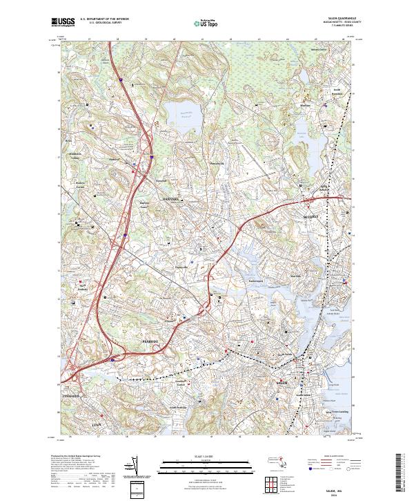
2024 Map of Salem
USGS Topo · Published 2024About this map
The Salem Maritime National Historic Site and the historic waterfront of Salem anchor this detailed study of Essex County's North Shore. The map documents the dense urban grid of the colonial seaport, including The Burying Point and the Essex County Courthouse, alongside modern academic institutions like Salem State University. To the west and north, the landscape transitions from the industrial centers of Peabody and Beverly to the suburban and rural fringes of Wenham and South Hamilton. Notable for genealogists are several secluded cemeteries, including the Peabody Family Burial Ground and the Old Settlers Burying Ground. Former transportation routes are preserved through modern recreational paths such as the Essex Railroad Rail Trail and the Peabody Bikeway, tracing the path of the region's historic rail-and-river economy. The presence of Nike Village near Putnamville Reservoir serves as a reminder of Cold War-era defense infrastructure.
Find a feature on this map
122 named features on this map. Tap any name to fly to it.
Don’t see what you’re looking for? This feature index may not catch every label — zoom into the map to look around manually.
Map Details
Editions of this 2024 Salem Map
This is the sole edition of this map. No revisions or reprints were ever made.
Other maps of this area

1886 · Lawrence
USGS Topo · 1:62,500

1888 · Lawrence
USGS Topo · 1:62,500

1888 · Salem
USGS Topo · 1:62,500

1892 · Boston Bay
USGS Topo · 1:62,500

1893 · Salem
USGS Topo · 1:62,500

1893 · Boston
USGS Topo · 1:62,500

1893 · Lawrence
USGS Topo · 1:62,500

1903 · Boston
USGS Topo · 1:62,500

1903 · Boston Bay
USGS Topo · 1:62,500

1917 · Salem
USGS Topo · 1:62,500