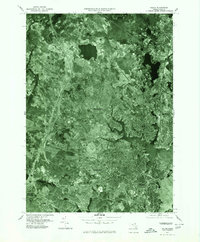
1977 Map of Salem
USGS Topo · Published 1980About this map
The North Shore of Massachusetts is documented here via high-altitude aerial photography, revealing the dense residential and industrial expansion of the late 1970s. The dense urban grid of Salem and the complex waterways of Danvers dominate the central landscape, showing how the coastal topography influenced the development of these colonial-era towns into modern satellite cities. This orthophotoquad captures the transition from the more rural reaches of Wenham and South Hamilton in the north to the heavily developed corridors around Peabody and Lynn to the south. The Ipswich River snakes through the western portion of the sheet, while the Miles River drains the wetlands of the northeast, providing a clear view of the remaining open space and protected drainages amidst the mid-century suburban sprawl.
Find a feature on this map
10 named features on this map. Tap any name to fly to it.
Don’t see what you’re looking for? This feature index may not catch every label — zoom into the map to look around manually.
Map Details
Editions of this 1977 Salem Map
This is the sole edition of this map. No revisions or reprints were ever made.
Other maps of this area

1886 · Lawrence
USGS Topo · 1:62,500

1888 · Lawrence
USGS Topo · 1:62,500

1888 · Salem
USGS Topo · 1:62,500

1892 · Boston Bay
USGS Topo · 1:62,500

1893 · Salem
USGS Topo · 1:62,500

1893 · Boston
USGS Topo · 1:62,500

1893 · Lawrence
USGS Topo · 1:62,500

1903 · Boston
USGS Topo · 1:62,500

1903 · Boston Bay
USGS Topo · 1:62,500

1917 · Salem
USGS Topo · 1:62,500