
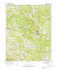
1950 Map of Salem
USGS Topo · Published 1973About this map
The town of Salem anchors this mid-century survey of the Ozark foothills, serving as a hub for the surrounding rural townships of Washington, Cleveland, and Strawberry. The landscape is defined by the winding course of the Strawberry River and its tributaries, such as Greasy Creek and Wildcat Creek, which carved the undulating terrain into prominent landmarks like Wallace Knob and Turkey Knob. The map reveals a tight-knit network of country institutions that served the local farming communities, including the Liberty Hill Sch and Wesley Chapel.
Find a feature on this map
59 named features on this map. Tap any name to fly to it.
Don’t see what you’re looking for? This feature index may not catch every label — zoom into the map to look around manually.
Map Details
Editions of this 1950 Salem Map
2 editions found
Other maps of this area

1890 · Mountain Home
USGS Topo · 1:125,000

1891 · Mountain Home
USGS Topo · 1:125,000

1894 · Mountain Home
USGS Topo · 1:125,000

1943 · Thayer
USGS Topo · 1:62,500

1944 · West Plains
USGS Topo · 1:62,500

1944 · Cureall
USGS Topo · 1:62,500

1945 · Harrison
USGS Topo · 1:250,000

1946 · Thayer
USGS Topo · 1:62,500

1946 · West Plains
USGS Topo · 1:62,500

1946 · Cureall
USGS Topo · 1:62,500