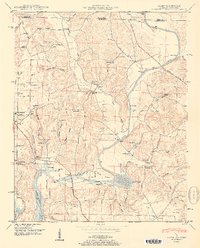
1951 Map of Salem
USGS Topo · Published 1951About this map
Elk River flows through the heart of this North Alabama landscape, its southern reaches transformed by the Wheeler Reservoir. The terrain is defined by a dense network of hollows, such as Buzzard Roost Hollow and Patterson Hollow, which feed into Shoal Creek and other local tributaries. The map documents a rural community centered around small crossroads and family landmarks, including the Elk River Fish Hatchery and multiple country stores like Maple Store.
Find a feature on this map
68 named features on this map. Tap any name to fly to it.
Don’t see what you’re looking for? This feature index may not catch every label — zoom into the map to look around manually.
Map Details
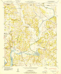
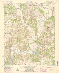
Editions of this 1951 Salem Map
3 editions found
Other maps of this area

1888 · Huntsville
USGS Topo · 1:125,000

1892 · Huntsville
USGS Topo · 1:125,000

1935 · Athens
USGS Topo · 1:24,000

1936 · Union Hill
USGS Topo · 1:24,000

1936 · Aspen Hill
USGS Topo · 1:24,000

1936 · Elkmont
USGS Topo · 1:24,000

1936 · Ripley
USGS Topo · 1:24,000

1936 · Appleton
USGS Topo · 1:24,000

1936 · Cairo
USGS Topo · 1:24,000

1936 · Elkton
USGS Topo · 1:24,000