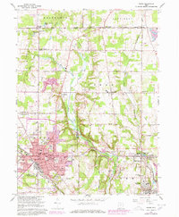
1966 Map of Salem
USGS Topo · Published 1978About this map
Salem serves as the industrial and social anchor of this landscape, its urban footprint expanding southward during the mid-1960s revision and 1970s photorevision. The map highlights a transition from the dense street grid of the city, featuring landmarks like Centennial Park and the McKinley School, to the surrounding townships of Goshen, Green, and Perry. The Middle Fork Little Beaver Creek carves a path through the center of the sheet, bordered by the topographic prominence of Dutch Ridge.
Find a feature on this map
82 named features on this map. Tap any name to fly to it.
Don’t see what you’re looking for? This feature index may not catch every label — zoom into the map to look around manually.
Map Details
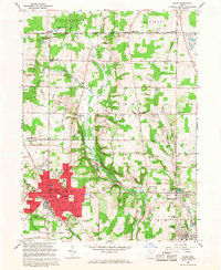
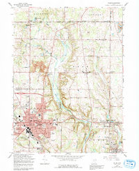
Editions of this 1966 Salem Map
3 editions found
Other maps of this area

1906 · Youngstown
USGS Topo · 1:62,500

1907 · Columbiana
USGS Topo · 1:62,500

1908 · Youngstown
USGS Topo · 1:62,500

1908 · Warren
USGS Topo · 1:62,500

1909 · Lisbon
USGS Topo · 1:62,500

1909 · Columbiana
USGS Topo · 1:62,500

1950 · Cleveland
USGS Topo · 1:250,000

1951 · Canton
USGS Topo · 1:250,000

1951 · Columbiana
USGS Topo · 1:24,000

1951 · Youngstown
USGS Topo · 1:24,000