
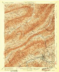
1932 Map of Salem
USGS Topo · Published 1932About this map
Salem anchors the southeastern corner of this study, where the Norfolk and Western Railway and the Virginian Railway parallel the North Fork Roanoke River. The landscape is dominated by the massive parallel ridges of Catawba Mountain, North Mountain, and Johns Creek Mountain. Notable institutional and geological landmarks are scattered throughout the valleys, including the Catawba Sanatorium, the notable sinkhole known as The Murder Hole, and Dixie Caverns. Local life is recorded through a network of rural schools and churches such as Fort Lewis School, Shiloh Church, and the Brickey School. The map captures a moment when early 20th-century transportation, like the Lee Highway, began to navigate the deep gaps of the Blue Ridge, such as Mc Afee Gap and Beckner Gap.
Find a feature on this map
74 named features on this map. Tap any name to fly to it.
Don’t see what you’re looking for? This feature index may not catch every label — zoom into the map to look around manually.
Map Details
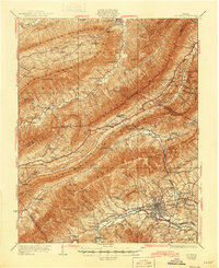
Editions of this 1932 Salem Map
3 editions found
Other maps of this area

1887 · Lewisburg
USGS Topo · 1:125,000

1890 · Roanoke
USGS Topo · 1:125,000

1890 · Christiansburg
USGS Topo · 1:125,000

1891 · Roanoke
USGS Topo · 1:125,000

1891 · Lewisburg
USGS Topo · 1:125,000

1894 · Natural Bridge
USGS Topo · 1:125,000

1913 · Eagle Rock
USGS Topo · 1:48,000

1915 · Eagle Rock
USGS Topo · 1:62,500

1921 · Ronceverte
USGS Topo · 1:48,000

1923 · Ronceverte
USGS Topo · 1:62,500