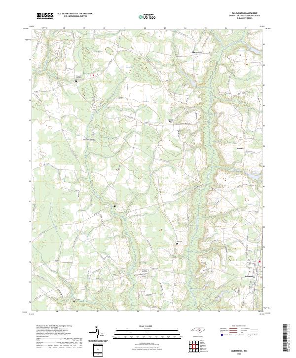
2022 Map of Salemburg
USGS Topo · Published 2022About this map
The town of Salemburg serves as the focal point for this survey of rural Sampson County, where the landscape is defined by the winding course of Little Coharie Cr and its associated wetlands. The area's agricultural and social fabric is revealed through numerous family-named landmarks and rural outposts like Halls Store and Rebel City. Extensive drainage systems including Big Swamp, Jones Swamp, and Caesar Swamp segment the terrain, while local industry and recreation are represented by Crumpler Millpond and McLambs Pond to the northeast.
Find a feature on this map
93 named features on this map. Tap any name to fly to it.
Don’t see what you’re looking for? This feature index may not catch every label — zoom into the map to look around manually.
Map Details
Editions of this 2022 Salemburg Map
This is the sole edition of this map. No revisions or reprints were ever made.
Other maps of this area
1909 · Coharie
USGS Topo · 1:62,500

1953 · Florence
USGS Topo · 1:250,000

1953 · Raleigh
USGS Topo · 1:250,000

1954 · Florence
USGS Topo · 1:250,000

1954 · Raleigh
USGS Topo · 1:250,000
1959 · Roseboro
USGS Topo · 1:62,500
1959 · Garland
USGS Topo · 1:62,500
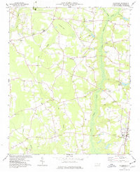
1974 · Salemburg
USGS Topo · 1:24,000
1974 · Wade
USGS Topo · 1:24,000
1974 · Stedman
USGS Topo · 1:24,000