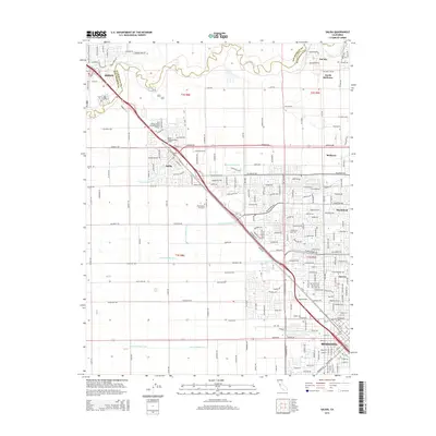
2015 Map of Salida
USGS Topo · Published 2015About this map
The Stanislaus River defines the northern boundary of this Central Valley corridor, separating San Joaquin and Stanislaus counties as it flows past the southern edge of Ripon. This 2015 survey reveals the intensive agricultural engineering of the region, marked by a sophisticated grid of irrigation canals including Lateral Number Six, Lateral Number Seven, and the Root Lateral. These waterworks support a landscape transitioning from rural acreage to the northward expansion of Modesto.
Find a feature on this map
225 named features on this map. Tap any name to fly to it.
Don’t see what you’re looking for? This feature index may not catch every label — zoom into the map to look around manually.
Map Details
Editions of this 2015 Salida Map
This is the sole edition of this map. No revisions or reprints were ever made.
Other maps of this area

1914 · Manteca
USGS Topo · 1:31,680

1914 · Avena
USGS Topo · 1:31,680

1915 · Ripon
USGS Topo · 1:31,680

1915 · Westport
USGS Topo · 1:31,680

1915 · Westley
USGS Topo · 1:31,680

1915 · Salida
USGS Topo · 1:31,680

1915 · Thalheim
USGS Topo · 1:31,680

1916 · Riverbank
USGS Topo · 1:31,680

1916 · Ceres
USGS Topo · 1:31,680

1939 · Modesto East
USGS Topo · 1:62,500