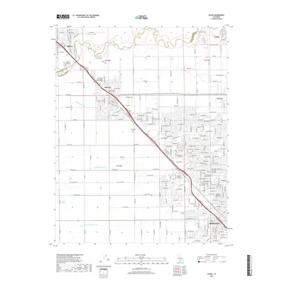
1915 Map of Salida
USGS Topo · Published 1915About this map
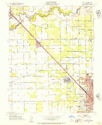
The Stanislaus River marks the boundary between San Joaquin and Stanislaus counties in this 1913 survey, where a sophisticated network of irrigation canals begins to transform the Central Valley landscape. The grid-like precision of Lateral No 6 and Lateral No 7 branching from the Main Canal illustrates the early 20th-century push toward intensive agriculture. Settlement centers like Salida and the northern edge of Modesto are defined by the convergence of the Southern Pacific (Fresno Line) and the Tidewater Southern railroads, which facilitated the region's burgeoning export economy.
Find a feature on this map
24 named features on this map. Tap any name to fly to it.
Don’t see what you’re looking for? This feature index may not catch every label — zoom into the map to look around manually.
Map Details
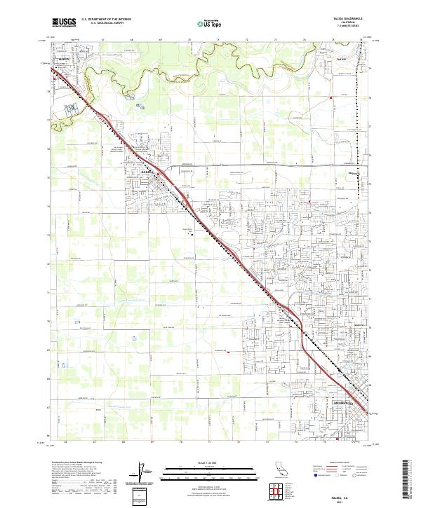
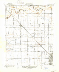
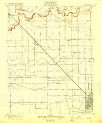
Editions of this 1915 Salida Map
2 editions found
Historical Maps of Modesto Through Time
7 maps found