
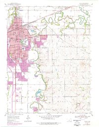
1955 Map of Salina
USGS Topo · Published 1956About this map
Salina serves as a major hub for commerce and education in mid-1950s Kansas, dominated by a dense grid of residential streets and institutional landmarks. The city is a confluence of rail and air transport, featuring the Union Pacific, A T & S F RR, C R I & P RR, and Missouri Pacific railroads, alongside the sprawling Salina Airport and nearby Smoky Hill Air Force Base. Education is central to the community's identity, evidenced by Marymount College, Kansas Wesleyan University, and St Johns Military Sch, alongside numerous neighborhood schools like Whittier Sch and Heusner Sch.
Find a feature on this map
77 named features on this map. Tap any name to fly to it.
Don’t see what you’re looking for? This feature index may not catch every label — zoom into the map to look around manually.
Map Details
Editions of this 1955 Salina Map
2 editions found
Other maps of this area

1889 · Abilene
USGS Topo · 1:125,000

1892 · Salina
USGS Topo · 1:125,000

1894 · Abilene
USGS Topo · 1:125,000

1942 · Salina
USGS Topo · 1:125,000

1955 · Assaria
USGS Topo · 1:24,000

1955 · Salina SW
USGS Topo · 1:24,000

1955 · Trenton
USGS Topo · 1:24,000

1955 · Smolan
USGS Topo · 1:24,000

1955 · Niles
USGS Topo · 1:24,000

1955 · New Cambria
USGS Topo · 1:24,000