Loading...
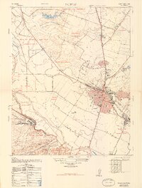
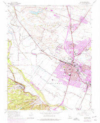
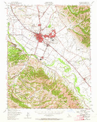
Loading map...1947 Map of Salinas
USGS Topo · Published 1948About this map
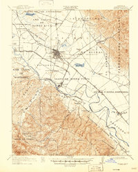
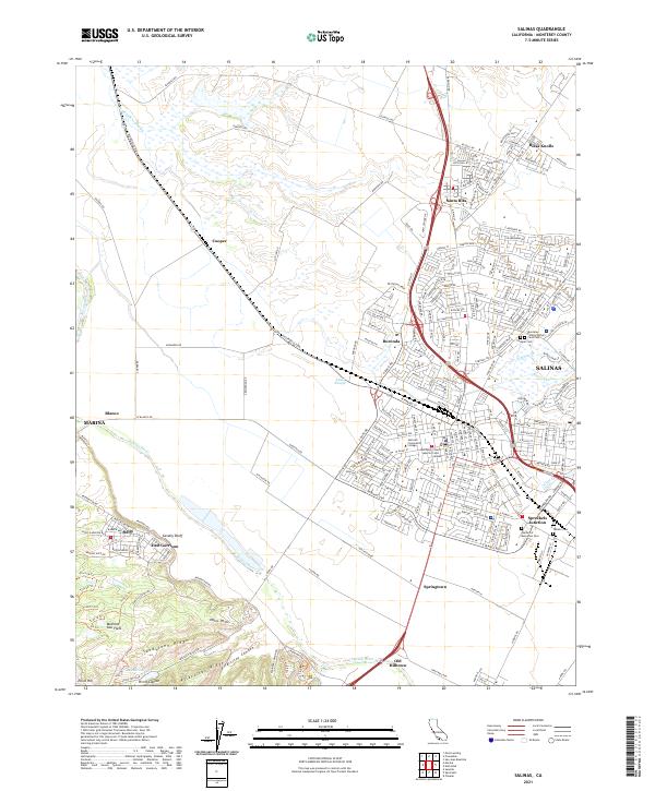
The agricultural and military landscape of the Salinas valley is captured here shortly after the war, showing the city at a pivotal moment of expansion. To the southwest, the heavy footprint of Fort Ord and its East Garrison dominates the terrain near Sandstone Ridge, connected by a network of military roads such as Inter-Garrison Road. The town center itself is densely detailed, featuring landmarks like the California Rodeo Field, Sherwood Park, and institutional anchors including Junior College and Notre Dame College.
Find a feature on this map
71 named features on this map. Tap any name to fly to it.
Don’t see what you’re looking for? This feature index may not catch every label — zoom into the map to look around manually.
Map Details
Date Portrayed1947
Date Published1948
PublisherU.S. Geological Survey
Map TypeTopographic
Scale1:24,000
Physical Dimensions21.95 x 28.93 inches
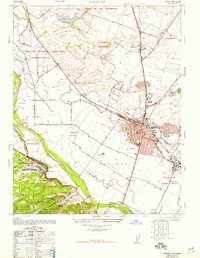
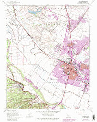
Editions of this 1947 Salinas Map
7 editions found
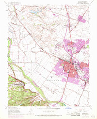
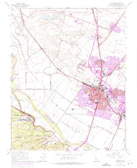
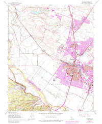
Historical Maps of Salinas Through Time
9 maps found


Featured Locations
Source Details
SourceU.S. Geological Survey
CopyrightPublic Domain