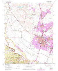
1947 Map of Salinas
USGS Topo · Published 1984About this map
The Salinas agricultural center and its surrounding land grants dominate this mid-century topographic record, showing the city's growth alongside traditional ranchos. Large tracts of land, including Los Gatos or Santa Rita and Bolsa de las Escorpinas, illustrate the region's transition from historical Mexican land grants to a modernizing urban core. The Southern Pacific railroad anchors the industrial landscape, serving the sugar beet processing hub of Spreckels and the various packing districts within the city limits.
Find a feature on this map
85 named features on this map. Tap any name to fly to it.
Don’t see what you’re looking for? This feature index may not catch every label — zoom into the map to look around manually.
Map Details
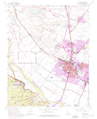
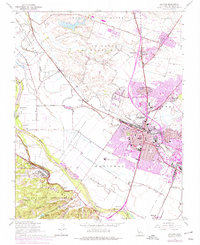
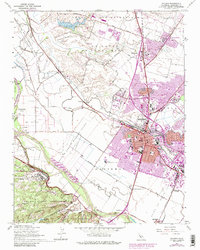
Editions of this 1947 Salinas Map
7 editions found
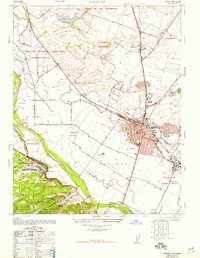
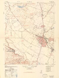
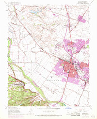
Other maps of this area

1910 · Salinas
USGS Topo · 1:31,680

1912 · Salinas
USGS Topo · 1:62,500

1912 · Capitola
USGS Topo · 1:62,500

1913 · Monterey
USGS Topo · 1:62,500

1914 · Capitola
USGS Topo · 1:62,500

1915 · San Juan Bautista
USGS Topo · 1:48,000

1917 · San Juan Bautista
USGS Topo · 1:62,500

1939 · San Juan Bautista
USGS Topo · 1:62,500

1940 · San Juan Bautista
USGS Topo · 1:62,500

1940 · Salinas
USGS Topo · 1:62,500