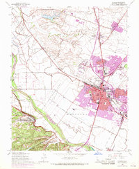
1947 Map of Salinas
USGS Topo · Published 1970About this map
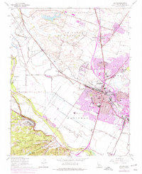
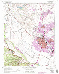
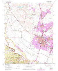
The agricultural and educational center of Salinas is shown during a period of significant postwar growth, with later updates tracking the city's expansion north and east. The map captures the heart of the Salinas Valley as it transitioned from its traditional ranching roots, represented by the Merrill Ranch and Clausens Ranch, to an increasingly urbanized landscape. Central to the community is Hartnell College and several prominent secondary schools like Salinas High Sch and Notre Dame High Sch.
Find a feature on this map
82 named features on this map. Tap any name to fly to it.
Don’t see what you’re looking for? This feature index may not catch every label — zoom into the map to look around manually.
Map Details
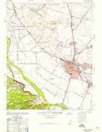
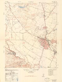
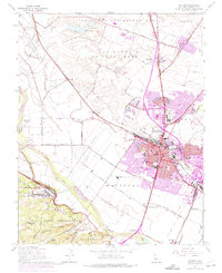
Editions of this 1947 Salinas Map
7 editions found
Other maps of this area

1910 · Salinas
USGS Topo · 1:31,680

1912 · Salinas
USGS Topo · 1:62,500

1912 · Capitola
USGS Topo · 1:62,500

1913 · Monterey
USGS Topo · 1:62,500

1914 · Capitola
USGS Topo · 1:62,500

1915 · San Juan Bautista
USGS Topo · 1:48,000

1917 · San Juan Bautista
USGS Topo · 1:62,500

1939 · San Juan Bautista
USGS Topo · 1:62,500

1940 · San Juan Bautista
USGS Topo · 1:62,500

1940 · Salinas
USGS Topo · 1:62,500