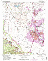
1947 Map of Salinas
USGS Topo · Published 1984About this map
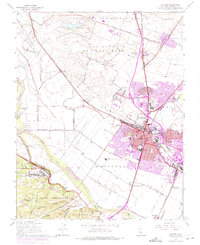
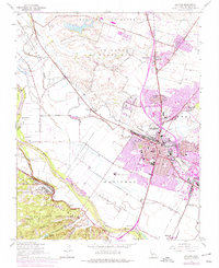
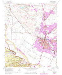
Salinas expands across the fertile Monterey County floor in this mid-century survey, showcasing a landscape transitioning from sprawling land grants to an organized urban center. The city’s core is dense with civic and educational institutions, including Hartnell College and numerous local schools like Salinas High Sch and Sherwood Sch. To the northwest, the map preserves the names of older land tracts such as El Tucho and the Tract of Land in Monterey County (Cocks), while the Southern Pacific railroad cuts a diagonal path through small sidings like Cooper and Graves.
Find a feature on this map
71 named features on this map. Tap any name to fly to it.
Don’t see what you’re looking for? This feature index may not catch every label — zoom into the map to look around manually.
Map Details
Editions of this 1947 Salinas Map
7 editions found
Other maps of this area

1910 · Salinas
USGS Topo · 1:31,680

1912 · Salinas
USGS Topo · 1:62,500

1912 · Capitola
USGS Topo · 1:62,500

1913 · Monterey
USGS Topo · 1:62,500

1914 · Capitola
USGS Topo · 1:62,500

1915 · San Juan Bautista
USGS Topo · 1:48,000

1917 · San Juan Bautista
USGS Topo · 1:62,500

1939 · San Juan Bautista
USGS Topo · 1:62,500

1940 · San Juan Bautista
USGS Topo · 1:62,500

1940 · Salinas
USGS Topo · 1:62,500