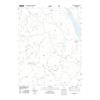
2011 Map of Saline Mines
USGS Topo · Published 2011About this map
The Saline River meets the Ohio River at the historic riverfront of Saline Landing, an area defined by its deep roots in the extraction economy. This Illinois-Kentucky borderland is dense with evidence of extensive mineral works, featuring a concentration of sites such as Minerva Mine Number 1, the Mahoning Mines, and the Deardorff Mine. The topography reveals the complex drainage patterns of Beaver Creek and Harris Creek, which feed into the main river systems through a landscape dotted with family and community burial grounds.
Find a feature on this map
65 named features on this map. Tap any name to fly to it.
Don’t see what you’re looking for? This feature index may not catch every label — zoom into the map to look around manually.
Map Details
Editions of this 2011 Saline Mines Map
This is the sole edition of this map. No revisions or reprints were ever made.
Other maps of this area

1916 · Shawneetown
USGS Topo · 1:62,500

1916 · Fords Ferry
USGS Topo · 1:62,500

1916 · Golconda
USGS Topo · 1:62,500

1916 · Equality
USGS Topo · 1:62,500

1920 · Goloonda
USGS Topo · 1:48,000

1921 · Fords Ferry
USGS Topo · 1:48,000

1921 · Golconda
USGS Topo · 1:62,500

1925 · Cave In Rock
USGS Topo · 1:62,500

1949 · Paducah
USGS Topo · 1:250,000

1950 · Paducah
USGS Topo · 1:250,000