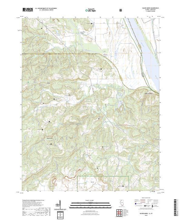
2024 Map of Saline Mines
USGS Topo · Published 2024About this map
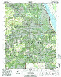
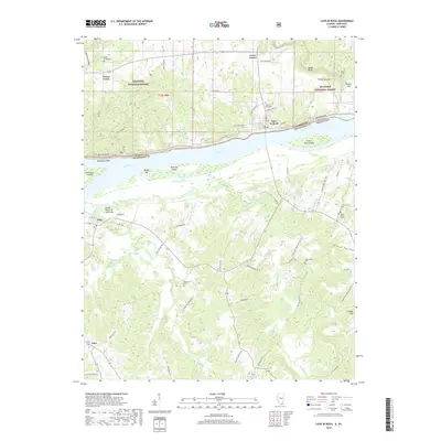
The Saline River joins the Ohio River in this riverfront landscape, which straddles the border between Illinois and Kentucky. Historically significant river crossings are documented here, including the Saline Rocks Ferry and Saline Tip Ferry, providing evidence of the essential water-based transport networks that connected these counties. The terrain is deeply marked by local family history, as seen in the numerous small burial grounds such as Stanley Cem, Earnshaw Cem, and Rutherford Cem that dot the wooded uplands of the Shawnee National Forest.
Find a feature on this map
58 named features on this map. Tap any name to fly to it.
Don’t see what you’re looking for? This feature index may not catch every label — zoom into the map to look around manually.
Map Details
Editions of this 2024 Saline Mines Map
This is the sole edition of this map. No revisions or reprints were ever made.
Historical Maps of Saline Landing Through Time
20 maps found
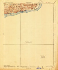
1916 Cave in Rock
Hardin County, IL
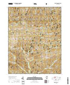
1959 Karbers Ridge
Hardin County, IL
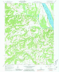
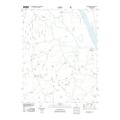
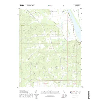
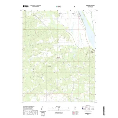
1959 Saline Mines
Hardin County, IL
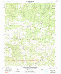
1996 Karbers Ridge
Hardin County, IL
1996 Saline Mines
Hardin County, IL
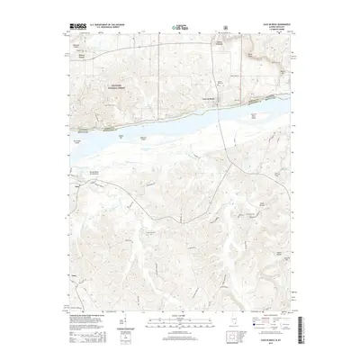
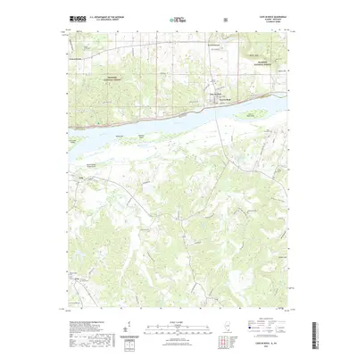
2011 Cave-in-Rock
Hardin County, IL
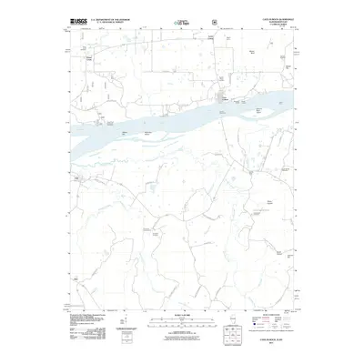
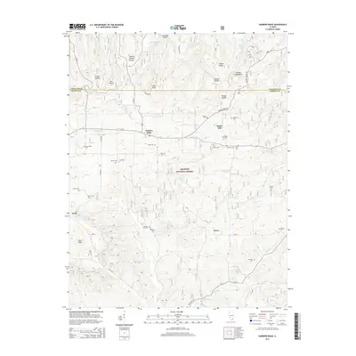
2011 Saline Mines
Hardin County, IL
2012 Karbers Ridge
Hardin County, IL
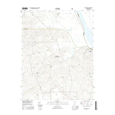
2015 Cave-in-Rock
Hardin County, IL
2015 Karbers Ridge
Hardin County, IL
2015 Saline Mines
Hardin County, IL
2018 Cave-in-Rock
Hardin County, IL
2018 Karbers Ridge
Hardin County, IL
2018 Saline Mines
Hardin County, IL
2021 Cave-in-Rock
Hardin County, IL
2021 Karbers Ridge
Hardin County, IL
2021 Saline Mines
Hardin County, IL
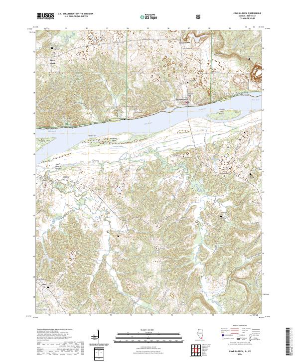
2024 Cave-in-Rock
Hardin County, IL
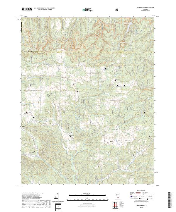
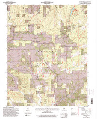
2024 Karbers Ridge
Hardin County, IL
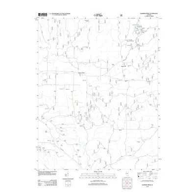
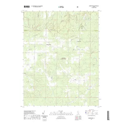
2024 Saline Mines
Hardin County, IL