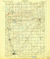
1906 Map of Saline
USGS Topo · Published 1929About this map
Saline and Tecumseh anchor this agricultural and transit landscape at the start of the twentieth century, where the rail network of Southern Michigan was at its peak. The Lake Shore and Michigan Southern railroad snakes through the center, connecting the village of Bridgewater to the regional hubs. Smaller settlements like Eckert, Benton, and Weinsburg dot the countryside, many of which served as local post offices or rail stops for the surrounding farmsteads.
Find a feature on this map
44 named features on this map. Tap any name to fly to it.
Don’t see what you’re looking for? This feature index may not catch every label — zoom into the map to look around manually.
Map Details
Editions of this 1906 Saline Map
4 editions found
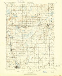
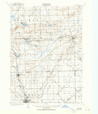
Other maps of this area

1902 · South Lyon
USGS Topo · 1:62,500

1902 · Ypsilanti
USGS Topo · 1:62,500

1902 · Dexter
USGS Topo · 1:62,500

1904 · Ann Arbor
USGS Topo · 1:125,000

1906 · Ypsilanti
USGS Topo · 1:62,500

1906 · Dexter
USGS Topo · 1:62,500

1906 · Saline
USGS Topo · 1:62,500

1906 · South Lyon
USGS Topo · 1:62,500

1908 · Ann Arbor
USGS Topo · 1:125,000

1912 · Dundee
USGS Topo · 1:62,500