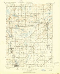
1906 Map of Saline
USGS Topo · Published 1950About this map
The Lake Shore and Michigan Southern R R anchors the transport network of southern Michigan in this 1901-1902 survey, connecting established hubs like Saline and Bridgewater. The landscape is defined by the winding course of the River Raisin, which flows past the organized street grids of Clinton and Tecumseh. Small farming hamlets such as Fredonia, Weinsburg, and Benton are scattered across the townships, many situated near water sources like Pleasant Lake and Columbia Lake.
Find a feature on this map
42 named features on this map. Tap any name to fly to it.
Don’t see what you’re looking for? This feature index may not catch every label — zoom into the map to look around manually.
Map Details
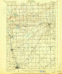
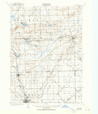
Editions of this 1906 Saline Map
4 editions found
Other maps of this area

1902 · South Lyon
USGS Topo · 1:62,500

1902 · Ypsilanti
USGS Topo · 1:62,500

1902 · Dexter
USGS Topo · 1:62,500

1904 · Ann Arbor
USGS Topo · 1:125,000

1906 · Ypsilanti
USGS Topo · 1:62,500

1906 · Dexter
USGS Topo · 1:62,500

1906 · Saline
USGS Topo · 1:62,500

1906 · South Lyon
USGS Topo · 1:62,500

1908 · Ann Arbor
USGS Topo · 1:125,000

1912 · Dundee
USGS Topo · 1:62,500