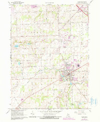
1967 Map of Saline
USGS Topo · Published 1984About this map
The Saline River cuts a diagonal path through this portion of Washtenaw County, anchoring the development of Saline and the surrounding townships of Lodi and Pittsfield. During the mid-1960s, the landscape was a mix of established agricultural sections and emerging infrastructure, evidenced by the Ann Arbor Municipal Airport and multiple radio towers including Radio Towers (WPAG). Residential expansion is visible near Curtiss Park, while the rural outskirts are dotted with small water bodies like Birkle Lake and Arnold Lake.
Find a feature on this map
45 named features on this map. Tap any name to fly to it.
Don’t see what you’re looking for? This feature index may not catch every label — zoom into the map to look around manually.
Map Details
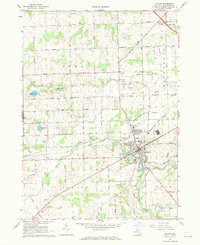
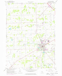
Editions of this 1967 Saline Map
3 editions found
Other maps of this area

1902 · South Lyon
USGS Topo · 1:62,500

1902 · Ypsilanti
USGS Topo · 1:62,500

1902 · Dexter
USGS Topo · 1:62,500

1904 · Ann Arbor
USGS Topo · 1:125,000

1906 · Ypsilanti
USGS Topo · 1:62,500

1906 · Dexter
USGS Topo · 1:62,500

1906 · Saline
USGS Topo · 1:62,500

1906 · South Lyon
USGS Topo · 1:62,500

1908 · Ann Arbor
USGS Topo · 1:125,000

1954 · Detroit
USGS Topo · 1:250,000