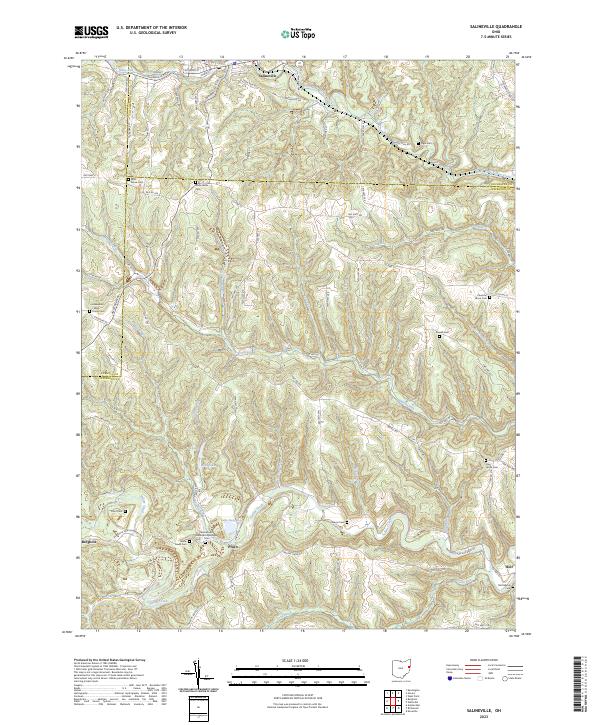
2023 Map of Salineville
USGS Topo · Published 2023About this map
Salineville and Bergholz anchor this 2023 survey of the tri-county borderlands where Columbiana, Carroll, and Jefferson counties meet. The landscape is defined by the high ground of Timothy Ridge and a dense network of watercourses, including the North Fork Yellow Creek and Brush Creek. A significant density of rural burial sites, such as the Mooretown Methodist Episcopal Cem, Seever Cem, and McClelland Cem, provides a detailed record of long-established family homesteads and pioneer-era settlements. Smaller locales like Pravo and Holt remain as distinct points on the map, connected by a network of winding roads like Steubenville Pike Rd that navigate the deeply incised valleys of Roach Run and Ralston Run.
Find a feature on this map
41 named features on this map. Tap any name to fly to it.
Don’t see what you’re looking for? This feature index may not catch every label — zoom into the map to look around manually.
Map Details
Editions of this 2023 Salineville Map
This is the sole edition of this map. No revisions or reprints were ever made.
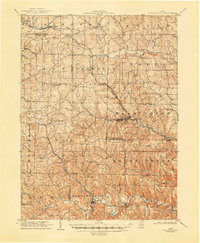
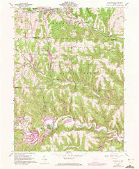
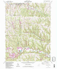
Historical Maps of Diamond Valley Through Time
4 maps found