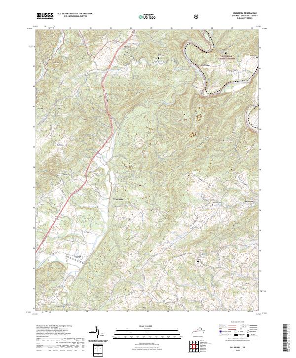
2022 Map of Salisbury
USGS Topo · Published 2022About this map
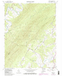
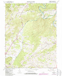
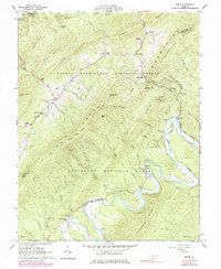
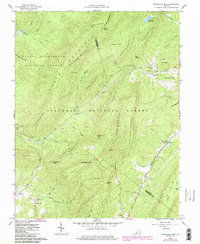
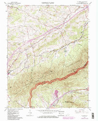
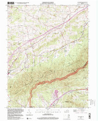
The James River snakes through the northeastern corner of this Botetourt County landscape, just as it reaches the settlement of Salisbury. The terrain is defined by a series of prominent ridges, including Cedar Ridge and Timber Ridge, which dictate the winding paths of the local road network. For genealogists and local historians, the sheet is particularly useful for its documentation of family burial sites, such as Rudisill Cem and Houseman Cem, scattered across the undulating countryside.
Find a feature on this map
73 named features on this map. Tap any name to fly to it.
Don’t see what you’re looking for? This feature index may not catch every label — zoom into the map to look around manually.
Map Details
Editions of this 2022 Salisbury Map
This is the sole edition of this map. No revisions or reprints were ever made.
Historical Maps of Owens Through Time
17 maps found

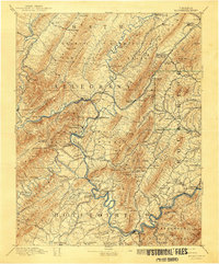
1894 Natural Bridge
Botetourt County, VA
1894 Rockbridge
Botetourt County, VA
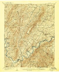
1907 Natural Bridge
Botetourt County, VA
1961 Arnold Valley
Botetourt County, VA
1962 Oriskany
Botetourt County, VA
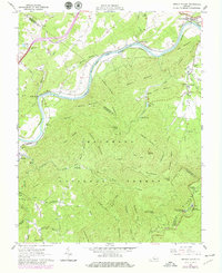
1962 Salisbury
Botetourt County, VA
1962 Strom
Botetourt County, VA
1962 Sugarloaf Mtn
Botetourt County, VA
1963 Villamont
Botetourt County, VA
1999 Arnold Valley
Botetourt County, VA
1999 Villamont
Botetourt County, VA
2022 Arnold Valley
Botetourt County, VA
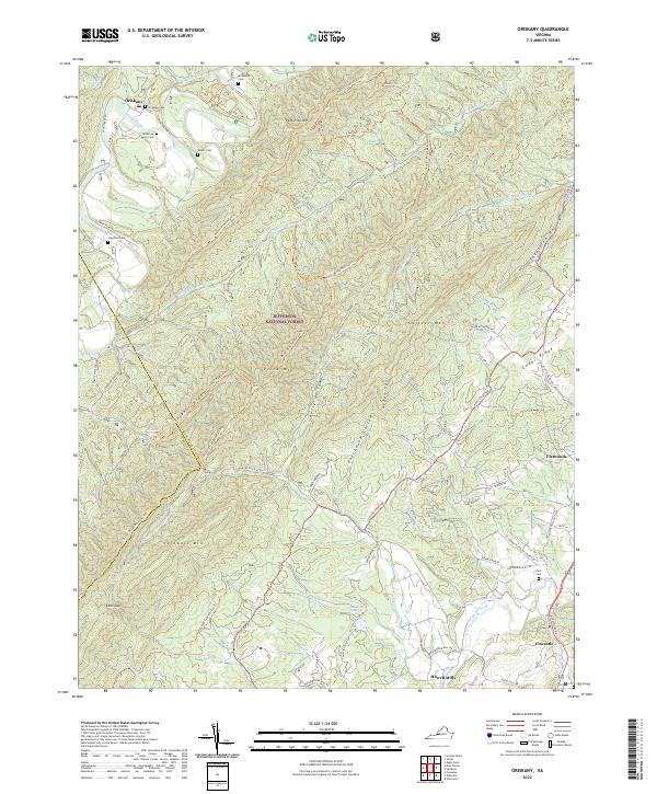
2022 Oriskany
Botetourt County, VA
2022 Salisbury
Botetourt County, VA
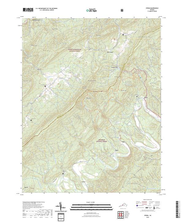
2022 Strom
Botetourt County, VA
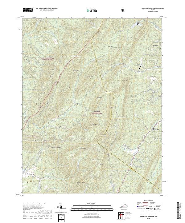
2022 Sugarloaf Mountain
Botetourt County, VA
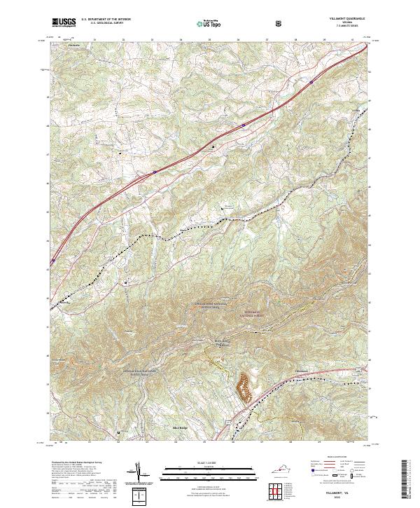
2022 Villamont
Botetourt County, VA