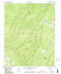
1962 Map of Sugarloaf Mtn
USGS Topo · Published 1986About this map
Jefferson National Forest and George Washington National Forest cover the high ridgelines of the Allegheny Mountains in this mid-century survey. The landscape is defined by the sharp convergence of Sandbank Mountain, Painter Mountain, and Sugarloaf Mtn, where the industrial history of the region is preserved in the remnants of the local iron industry. The ruins of Jane Furnace and Rebecca Furnace sit in the hollows, marking former sites of extraction and production that once supported these mountain communities. Small rural congregations and family burial grounds, including Mt Horeb Ch, Deacons Cem, and Pullen Cem, are found near the headwaters of North Buffalo Creek. The drainage patterns of Sinking Creek and South Buffalo Creek dictate the settlement layout, with most human activity confined to the narrow flats beneath summits like Ad Cox Knob and Piny Knob.
Find a feature on this map
59 named features on this map. Tap any name to fly to it.
Don’t see what you’re looking for? This feature index may not catch every label — zoom into the map to look around manually.
Map Details
Editions of this 1962 Sugarloaf Mtn Map
4 editions found
Other maps of this area

1894 · Natural Bridge
USGS Topo · 1:125,000

1894 · Natural Bridge
USGS Topo · 1:62,500

1907 · Natural Bridge Special
USGS Topo · 1:62,500

1913 · Eagle Rock
USGS Topo · 1:48,000

1915 · Eagle Rock
USGS Topo · 1:62,500

1945 · Clifton Forge
USGS Topo · 1:62,500

1946 · Millboro
USGS Topo · 1:62,500

1947 · Roanoke
USGS Topo · 1:250,000
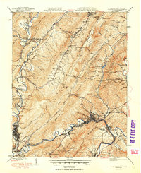
1949 · Clifton Forge
USGS Topo · 1:62,500
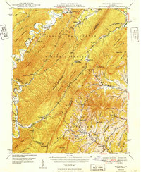
1949 · Millboro
USGS Topo · 1:62,500