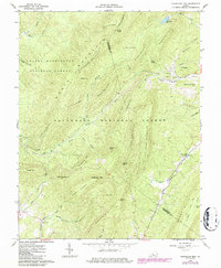
1962 Map of Sugarloaf Mtn
USGS Topo · Published 1986About this map
Jane Furnace and Rebecca Furnace stand as industrial remnants along the mountainous border of Botetourt and Rockbridge Counties. This 1962 survey, updated in the mid-1980s, reveals a landscape defined by the iron heritage of the Blue Ridge, where remote furnace sites and Orebank Mountain point to earlier mineral extraction. The terrain is deeply corrugated by ridges like Biggs Mountain and Painter Mountain, with small settlements like Rapps Mill and Moore established along the watercourses.
Find a feature on this map
62 named features on this map. Tap any name to fly to it.
Don’t see what you’re looking for? This feature index may not catch every label — zoom into the map to look around manually.
Map Details
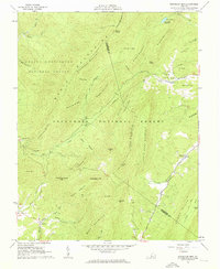
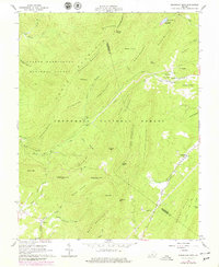
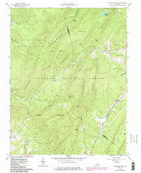
Editions of this 1962 Sugarloaf Mtn Map
4 editions found
Other maps of this area

1894 · Natural Bridge
USGS Topo · 1:125,000

1894 · Natural Bridge
USGS Topo · 1:62,500

1907 · Natural Bridge Special
USGS Topo · 1:62,500

1913 · Eagle Rock
USGS Topo · 1:48,000

1915 · Eagle Rock
USGS Topo · 1:62,500

1945 · Clifton Forge
USGS Topo · 1:62,500

1946 · Millboro
USGS Topo · 1:62,500

1947 · Roanoke
USGS Topo · 1:250,000
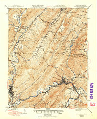
1949 · Clifton Forge
USGS Topo · 1:62,500
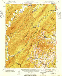
1949 · Millboro
USGS Topo · 1:62,500