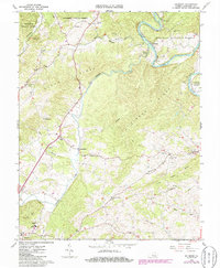
1962 Map of Salisbury
USGS Topo · Published 1986About this map
The James River corridor in Botetourt County defines this landscape, where the Chesapeake and Ohio railroad follows the river's winding course through the valley. This 1960s-era study, updated in the mid-1980s, reveals a rural community anchored by industrial history and small-scale agriculture. The presence of the Salisbury Furnace (Ruins) near Salisbury points to the region's early iron production, while the dense concentration of houses of worship, such as Lapsley Run Ch, Pierce Chapel, and Lily of the Valley Ch, illustrates the social fabric of the surrounding ridges. Significant family and local heritage markers are found at the Rudisill Cem and Houseman Cem. From the southern edge near Fincastle to the northern reaches of the Jefferson National Forest, the map traces a network of creeks like Catawba Creek and Spreading Spring Branch that once powered local milling operations at sites like Kyles Mills.
Find a feature on this map
48 named features on this map. Tap any name to fly to it.
Don’t see what you’re looking for? This feature index may not catch every label — zoom into the map to look around manually.
Map Details
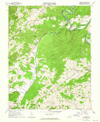
Editions of this 1962 Salisbury Map
2 editions found
Other maps of this area

1890 · Roanoke
USGS Topo · 1:125,000

1891 · Roanoke
USGS Topo · 1:125,000

1894 · Natural Bridge
USGS Topo · 1:125,000

1894 · Natural Bridge
USGS Topo · 1:62,500

1907 · Natural Bridge Special
USGS Topo · 1:62,500

1913 · Eagle Rock
USGS Topo · 1:48,000

1915 · Eagle Rock
USGS Topo · 1:62,500

1929 · Roanoke
USGS Topo · 1:48,000

1933 · Roanoke
USGS Topo · 1:62,500

1947 · Roanoke
USGS Topo · 1:250,000