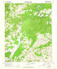
1962 Map of Salisbury
USGS Topo · Published 1964About this map
The James River carves a deep horseshoe bend near Salisbury, where the iron-working history of Botetourt County is physically preserved at the Salisbury Furnace (Ruins). This mid-century landscape is defined by the steep parallel ridges of Cedar Ridge and Timber Ridge, which channel the flow of the Catawba Creek toward the river. The area's rural character is evidenced by a high density of country churches and small family burying grounds, including Pierce Chapel, St Jacobs Ch, and the Linkenhoker Cem.
Find a feature on this map
39 named features on this map. Tap any name to fly to it.
Don’t see what you’re looking for? This feature index may not catch every label — zoom into the map to look around manually.
Map Details
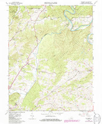
Editions of this 1962 Salisbury Map
2 editions found
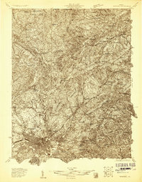
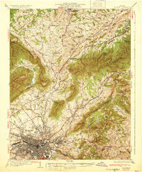
Other maps of this area

1890 · Roanoke
USGS Topo · 1:125,000

1891 · Roanoke
USGS Topo · 1:125,000

1894 · Natural Bridge
USGS Topo · 1:125,000

1894 · Natural Bridge
USGS Topo · 1:62,500

1907 · Natural Bridge Special
USGS Topo · 1:62,500

1913 · Eagle Rock
USGS Topo · 1:48,000

1915 · Eagle Rock
USGS Topo · 1:62,500
1929 · Roanoke
USGS Topo · 1:48,000
1933 · Roanoke
USGS Topo · 1:62,500

1947 · Roanoke
USGS Topo · 1:250,000