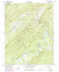
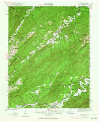
1962 Map of Strom
USGS Topo · Published 1984About this map
The sharp bends of Craig Creek and Patterson Creek dictate the settlement patterns of this mountain valley during the early 1960s. These waterways carve through the terrain between Rich Patch Mountain and Patterson Mountain, creating small pockets for communities like Silent Dell, Surber, and Horton. The presence of Grace Furnace (Ruins) and the Roaring Run Furnace Roadside Park points to the area's industrial past, while several scattered cemeteries like King Memorial Cem and Humphries Cem serve as vital records for local genealogists.
Find a feature on this map
63 named features on this map. Tap any name to fly to it.
Don’t see what you’re looking for? This feature index may not catch every label — zoom into the map to look around manually.
Map Details
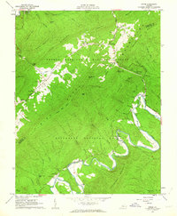
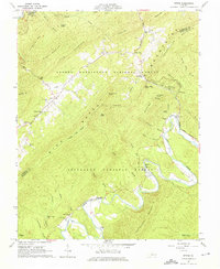
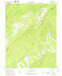
Editions of this 1962 Strom Map
4 editions found
Other maps of this area

1887 · Lewisburg
USGS Topo · 1:125,000

1891 · Lewisburg
USGS Topo · 1:125,000

1894 · Natural Bridge
USGS Topo · 1:125,000

1913 · Eagle Rock
USGS Topo · 1:48,000

1915 · Eagle Rock
USGS Topo · 1:62,500

1921 · Callaghan
USGS Topo · 1:48,000

1923 · Callaghan
USGS Topo · 1:62,500

1945 · Clifton Forge
USGS Topo · 1:62,500
1945 · New Castle
USGS Topo · 1:62,500
1946 · Callaghan
USGS Topo · 1:62,500