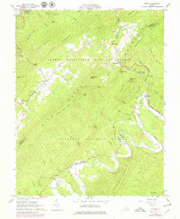
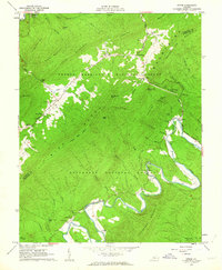
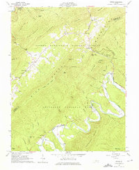
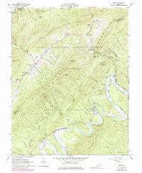
1962 Map of Strom
USGS Topo · Published 1979About this map
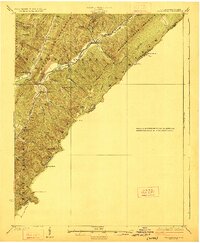
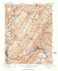
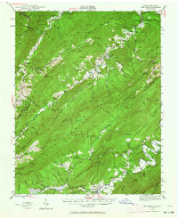
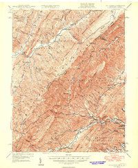
Rich Patch Mountain and Patterson Mountain dominate this section of the Alleghenies, where narrow valleys separate high ridges within the George Washington National Forest and Jefferson National Forest. The landscape is a mix of industrial history and rural isolation, evidenced by the presence of a strip mine and quarry alongside legacy industrial sites like the Glace Furnace and Roaring Run Furnace. The settlement of Lignite sits at the southwestern edge, connected to other small communities like Rich Patch and Strom by winding mountain roads. Along the banks of Craig Creek, several small family and community hubs appear, including Cedar Grove Ch and Silent Dell. Local history is deeply embedded in the terrain through numerous small burial grounds such as Hooks Cem, Deisher Cem, and King Memorial Cem, which dot the hillsides near early homesteads and church sites.
Find a feature on this map
66 named features on this map. Tap any name to fly to it.
Don’t see what you’re looking for? This feature index may not catch every label — zoom into the map to look around manually.
Map Details
Editions of this 1962 Strom Map
4 editions found
Other maps of this area

1887 · Lewisburg
USGS Topo · 1:125,000

1891 · Lewisburg
USGS Topo · 1:125,000

1894 · Natural Bridge
USGS Topo · 1:125,000

1913 · Eagle Rock
USGS Topo · 1:48,000

1915 · Eagle Rock
USGS Topo · 1:62,500

1921 · Callaghan
USGS Topo · 1:48,000
1923 · Callaghan
USGS Topo · 1:62,500
1945 · Clifton Forge
USGS Topo · 1:62,500
1945 · New Castle
USGS Topo · 1:62,500
1946 · Callaghan
USGS Topo · 1:62,500