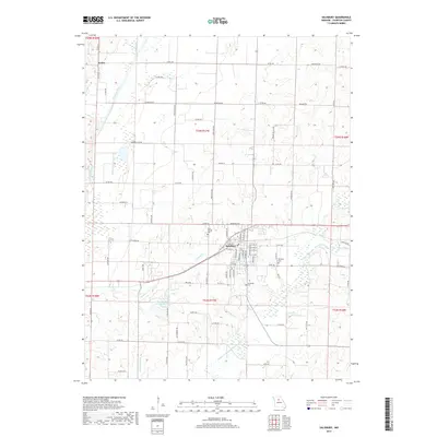
2017 Map of Salisbury
USGS Topo · Published 2017About this map
Salisbury serves as the central hub of this Chariton County landscape, where the local grid of streets and avenues meets the winding course of Puzzle Cr. The map reveals a community deeply rooted in its history, evidenced by the clustered locations of Salisbury Cem, Saint Joseph Cem, and Immanuel Cem around the town perimeter. To the west, the Chariton River carves a broad valley, while the Middle Fork Little Chariton River snakes through the southeastern corner, reflecting the importance of these waterways to the region's drainage and agricultural layout.
Find a feature on this map
86 named features on this map. Tap any name to fly to it.
Don’t see what you’re looking for? This feature index may not catch every label — zoom into the map to look around manually.
Map Details
Editions of this 2017 Salisbury Map
This is the sole edition of this map. No revisions or reprints were ever made.
Other maps of this area

1890 · Glasgow
USGS Topo · 1:125,000

1953 · Moberly
USGS Topo · 1:250,000

1953 · Armstrong
USGS Topo · 1:24,000

1953 · Clifton Hill
USGS Topo · 1:24,000

1953 · Prairie Hill
USGS Topo · 1:24,000

1953 · Bynumville
USGS Topo · 1:24,000
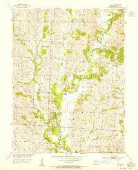
1953 · Mike
USGS Topo · 1:24,000

1954 · Moberly
USGS Topo · 1:250,000
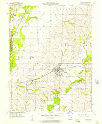
1956 · Salisbury
USGS Topo · 1:24,000
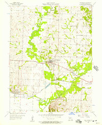
1956 · Keytesville
USGS Topo · 1:24,000