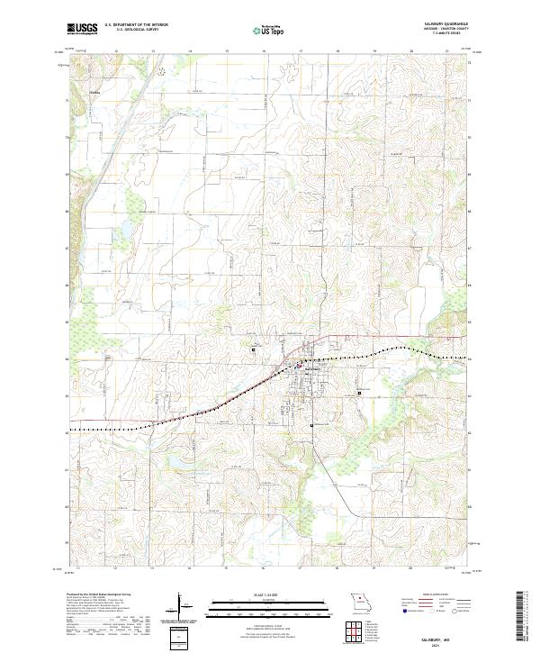
2021 Map of Salisbury
USGS Topo · Published 2021About this map
Salisbury and the surrounding Chariton County landscape are defined by a complex network of waterways and prairie crossings in this contemporary 2021 survey. The town serves as a central hub, flanked by the Chariton River to the west and the meandering Middle Fork Little Chariton River to the east. The terrain is marked by numerous smaller tributaries such as Puzzle Cr and Lake Br, which have shaped the agricultural grid of the region.
Find a feature on this map
73 named features on this map. Tap any name to fly to it.
Don’t see what you’re looking for? This feature index may not catch every label — zoom into the map to look around manually.
Map Details
Editions of this 2021 Salisbury Map
This is the sole edition of this map. No revisions or reprints were ever made.
Other maps of this area

1890 · Glasgow
USGS Topo · 1:125,000

1953 · Moberly
USGS Topo · 1:250,000

1953 · Armstrong
USGS Topo · 1:24,000

1953 · Clifton Hill
USGS Topo · 1:24,000

1953 · Prairie Hill
USGS Topo · 1:24,000

1953 · Bynumville
USGS Topo · 1:24,000
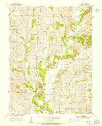
1953 · Mike
USGS Topo · 1:24,000

1954 · Moberly
USGS Topo · 1:250,000
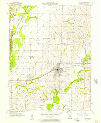
1956 · Salisbury
USGS Topo · 1:24,000
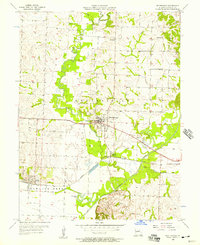
1956 · Keytesville
USGS Topo · 1:24,000