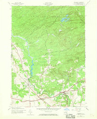
1945 Map of Salisbury
USGS Topo · Published 1969About this map
Adirondack State Park encompasses the northern reaches of this terrain, where the headwaters of Trammel Creek and Buck Creek descend toward the settled valleys of Herkimer County. The mid-1940s landscape reveals a network of rural hamlets and crossroads, including Salisbury Center, Irondale, and Curtis, which served as local hubs for the surrounding farm and timber lands. The importance of early industrial siting is evident at Paper Mill Corners and the Dolgeville Reservoir, while the New York Central railroad corridor provides a vital transportation link through the southern section of the quadrangle. Genealogists will find a high concentration of family-named burial grounds and historical sites, such as Comstock Cem, Peck Cem, and the Kelly Sch, which anchor the map's small communities to their local history and social geography.
Find a feature on this map
35 named features on this map. Tap any name to fly to it.
Don’t see what you’re looking for? This feature index may not catch every label — zoom into the map to look around manually.
Map Details
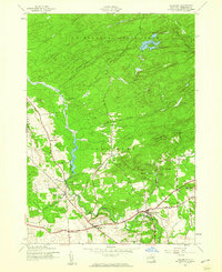
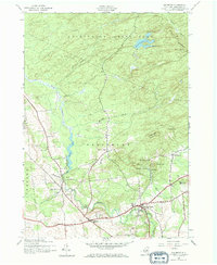
Editions of this 1945 Salisbury Map
Other maps of this area

1900 · Little Falls
USGS Topo · 1:62,500

1900 · Wilmurt
USGS Topo · 1:62,500

1901 · Lassellsville
USGS Topo · 1:62,500

1902 · Wilmurt
USGS Topo · 1:62,500

1903 · Lassellsville
USGS Topo · 1:62,500

1903 · Little Falls
USGS Topo · 1:62,500

1904 · Piseco Lake
USGS Topo · 1:62,500

1906 · Piseco Lake
USGS Topo · 1:62,500

1908 · Piseco Lake
USGS Topo · 1:62,500

1939 · Little Falls
USGS Topo · 1:62,500