
1911 Map of Sallisaw
USGS Topo · Published 1911About this map
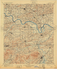
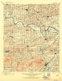
The Arkansas River and Poteau River define the commercial and agricultural geography of this eastern Oklahoma region at the start of the twentieth century. This survey documents a critical period of infrastructure development where traditional river crossings like Foreman Ferry and Slates Ford operated alongside a rapidly expanding rail network. The junction of the St Louis and San Francisco RR, Kansas City Southern RR, and Midland Valley RR created a series of booming rail towns, including Sallisaw, Bokoshe, and Spiro.
Find a feature on this map
107 named features on this map. Tap any name to fly to it.
Don’t see what you’re looking for? This feature index may not catch every label — zoom into the map to look around manually.
Map Details
Editions of this 1911 Sallisaw Map
3 editions found
Other maps of this area

1879 · Fort Smith
USGS Topo · 1:62,500

1887 · Van Buren
USGS Topo · 1:62,500

1887 · Poteau Mountain #2
USGS Topo · 1:62,500

1887 · Greenwood
USGS Topo · 1:62,500

1890 · Fort Smith
USGS Topo · 1:125,000

1890 · Poteau Mountain
USGS Topo · 1:125,000

1898 · Winslow #3
USGS Topo · 1:62,500

1898 · Tahlequah
USGS Topo · 1:125,000

1898 · Winslow
USGS Topo · 1:125,000

1899 · Poteau Mountain
USGS Topo · 1:125,000