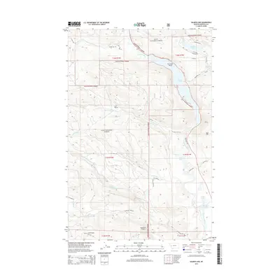
2014 Map of Salmon Lake
USGS Topo · Published 2014About this map
Salmon Lake and the winding Clearwater River anchor this landscape within the Lolo National Forest. This 2014 survey documents a network of high-mountain lakes and drainages, including the secluded Sourdough Island and the neighboring waters of Big Sky Lake, Elbow Lake, and Harpers Lake. The terrain is defined by significant elevation changes, rising from the river valley toward Boyd Mtn and the steep slopes of Woodchuck Canyon.
Find a feature on this map
39 named features on this map. Tap any name to fly to it.
Don’t see what you’re looking for? This feature index may not catch every label — zoom into the map to look around manually.
Map Details
Editions of this 2014 Salmon Lake Map
This is the sole edition of this map. No revisions or reprints were ever made.
Other maps of this area

1902 · Ovando
USGS Topo · 1:125,000

1903 · Bonner
USGS Topo · 1:125,000

1905 · Ovando
USGS Topo · 1:125,000

1919 · Drummond
USGS Topo · 1:125,000

1921 · Drummond
USGS Topo · 1:125,000

1921 · Elbow Lake
USGS Topo · 1:125,000

1947 · Butte
USGS Topo · 1:250,000

1955 · Choteau
USGS Topo · 1:250,000

1957 · Choteau
USGS Topo · 1:250,000

1958 · Butte
USGS Topo · 1:250,000