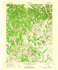
1961 Map of Saloma
USGS Topo · Published 1963About this map
Muldraugh Hill dominates the northern landscape of this central Kentucky survey, where the rugged terrain of the Highland Rim meets the headwaters of numerous creeks. The intersection of rural industry and community life is visible in the presence of the White Rose Oil Field and a second Oil Field to the south, highlighting the region's mid-century petroleum activity. Small settlements such as Saloma, Willowtown, and Durhamtown serve as focal points for the surrounding agricultural tracts.
Find a feature on this map
34 named features on this map. Tap any name to fly to it.
Don’t see what you’re looking for? This feature index may not catch every label — zoom into the map to look around manually.
Map Details
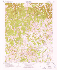
Editions of this 1961 Saloma Map
2 editions found
Other maps of this area

1953 · Howardstown
USGS Topo · 1:24,000

1953 · Campbellsville
USGS Topo · 1:24,000

1953 · Saloma
USGS Topo · 1:24,000

1953 · Hibernia
USGS Topo · 1:24,000

1953 · Summersville
USGS Topo · 1:24,000

1953 · Raywick
USGS Topo · 1:24,000

1953 · Spurlington
USGS Topo · 1:24,000

1953 · Lebanon West
USGS Topo · 1:24,000

1954 · Greensburg
USGS Topo · 1:24,000

1957 · Winchester
USGS Topo · 1:250,000