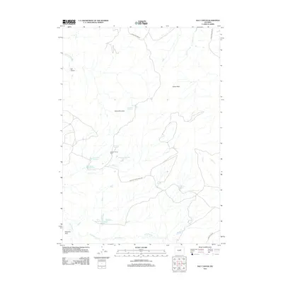
2012 Map of Salt Canyon
USGS Topo · Published 2012About this map
Antelope Springs Ranch sits at the heart of this high-plains landscape, where ranching operations depend on a network of man-made water sources in an arid environment. The map details a significant concentration of reservoirs, such as Big V Reservoir, Rock Spring Reservoir, and Chocolate Reservoir, which are vital for livestock and local wildlife management. These features, along with natural water points like Jacques Spring and Antelope Springs, suggest a history of careful water engineering and range land utilization.
Find a feature on this map
22 named features on this map. Tap any name to fly to it.
Don’t see what you’re looking for? This feature index may not catch every label — zoom into the map to look around manually.
Map Details
Editions of this 2012 Salt Canyon Map
This is the sole edition of this map. No revisions or reprints were ever made.
Other maps of this area

1955 · Arminto
USGS Topo · 1:250,000

1958 · Arminto
USGS Topo · 1:250,000

1961 · TTT Ranch
USGS Topo · 1:24,000

1961 · Dugout Ranch
USGS Topo · 1:24,000

1961 · Wall Creek
USGS Topo · 1:24,000

1962 · Arminto
USGS Topo · 1:250,000

1968 · Big Gulch
USGS Topo · 1:24,000

1968 · Camel Hump Reservoir
USGS Topo · 1:24,000

1968 · Fiftymile Flat
USGS Topo · 1:24,000

1968 · Salt Canyon
USGS Topo · 1:24,000