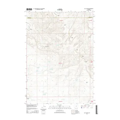
2015 Map of Salt Canyon
USGS Topo · Published 2015About this map
Tisdale Mtn dominates the northern horizon of this landscape straddling the line between Johnson and Natrona Counties. The terrain is defined by a complex network of canyons and draws, such as Oil Canyon and Toy Canyon, which direct drainage toward the S Fork Powder River in the west. This 2015 survey reveals an extensive system of water management essential for livestock and local industry in the Wyoming high country, evidenced by the numerous small reservoirs like Three Forks Reservoir, South Wall Number 3 Reservoir, and Big V Reservoir that dot the map. Notable landmarks including Devils Monument and the dramatic escarpment of The Wall serve as primary navigational points in this sparsely populated region. Access to the interior is limited to rugged tracks like Tisdale Mountain Rd and Long Canyon Rd, connecting isolated springs such as Antelope Springs and Jacques Spring across the rolling basin.
Find a feature on this map
36 named features on this map. Tap any name to fly to it.
Don’t see what you’re looking for? This feature index may not catch every label — zoom into the map to look around manually.
Map Details
Editions of this 2015 Salt Canyon Map
This is the sole edition of this map. No revisions or reprints were ever made.
Other maps of this area

1955 · Arminto
USGS Topo · 1:250,000

1958 · Arminto
USGS Topo · 1:250,000

1961 · TTT Ranch
USGS Topo · 1:24,000

1961 · Dugout Ranch
USGS Topo · 1:24,000

1961 · Wall Creek
USGS Topo · 1:24,000

1962 · Arminto
USGS Topo · 1:250,000

1968 · Big Gulch
USGS Topo · 1:24,000

1968 · Camel Hump Reservoir
USGS Topo · 1:24,000

1968 · Fiftymile Flat
USGS Topo · 1:24,000

1968 · Salt Canyon
USGS Topo · 1:24,000