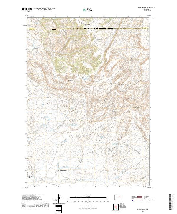
2021 Map of Salt Canyon
USGS Topo · Published 2021About this map
Tisdale Mtn rises above the high plains of central Wyoming, marking a landscape defined by significant water management and dramatic relief. This interior rangeland, straddling the border of Johnson County and Natrona County, contains an extensive network of man-made water features essential for livestock and local ecology. Small reservoirs such as Chocolate Reservoir, Three Forks Reservoir, Willow Reservoir, and Rock Spring Reservoir are dispersed across the terrain, connected by seasonal drainages like Grass Creek and Gierse Draw.
Find a feature on this map
36 named features on this map. Tap any name to fly to it.
Don’t see what you’re looking for? This feature index may not catch every label — zoom into the map to look around manually.
Map Details
Editions of this 2021 Salt Canyon Map
This is the sole edition of this map. No revisions or reprints were ever made.
Other maps of this area

1955 · Arminto
USGS Topo · 1:250,000

1958 · Arminto
USGS Topo · 1:250,000

1961 · TTT Ranch
USGS Topo · 1:24,000

1961 · Dugout Ranch
USGS Topo · 1:24,000

1961 · Wall Creek
USGS Topo · 1:24,000

1962 · Arminto
USGS Topo · 1:250,000

1968 · Big Gulch
USGS Topo · 1:24,000

1968 · Camel Hump Reservoir
USGS Topo · 1:24,000

1968 · Fiftymile Flat
USGS Topo · 1:24,000

1968 · Salt Canyon
USGS Topo · 1:24,000