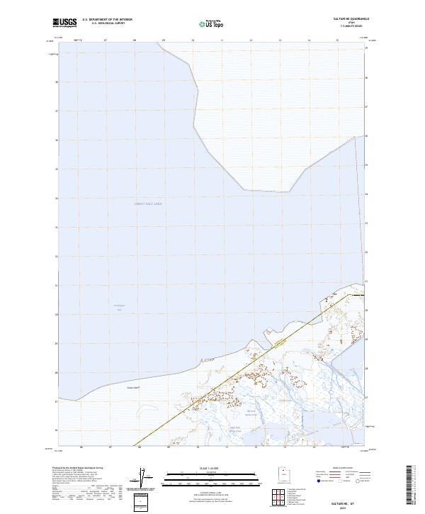
2023 Map of Saltair NE
USGS Topo · Published 2023About this map
Great Salt Lake dominates this 2023 survey of the southern shoreline of Farmington Bay, capturing a landscape where water and infrastructure meet. The transition between open water and the northern industrial edge of Salt Lake City is defined by features like the Salt Lake City Sewage Canal, which cuts through the wetlands toward the lake. The map details the hydrology of the shoreline, showing the courses of Crystal Creek and the Left Fork Spring Creek as they meander through the marshy terrain.
Find a feature on this map
8 named features on this map. Tap any name to fly to it.
Don’t see what you’re looking for? This feature index may not catch every label — zoom into the map to look around manually.
Map Details
Editions of this 2023 Saltair NE Map
This is the sole edition of this map. No revisions or reprints were ever made.
Historical Maps of Davis County Through Time
25 maps found
1952 Antelope Island South
Davis County, UT
1952 Bountiful Peak
Davis County, UT
1952 Saltair NE
Davis County, UT

1954 Antelope Island
Davis County, UT

1954 Antelope Island North
Davis County, UT

1968 Fremont Island SW
Davis County, UT
1972 Antelope Island
Davis County, UT
1972 Antelope Island North
Davis County, UT
1972 Antelope Island South
Davis County, UT
1972 Buffalo Point
Davis County, UT
1972 Plug Peak NE
Davis County, UT
1972 Saltair NE
Davis County, UT
1991 Antelope Island North
Davis County, UT
1991 Buffalo Point
Davis County, UT
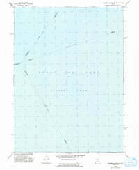
1991 Fremont Island SW
Davis County, UT
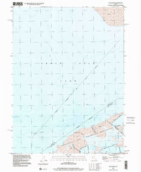
1997 Saltair NE
Davis County, UT
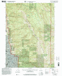
1998 Bountiful Peak
Davis County, UT
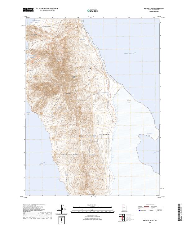
2023 Antelope Island
Davis County, UT
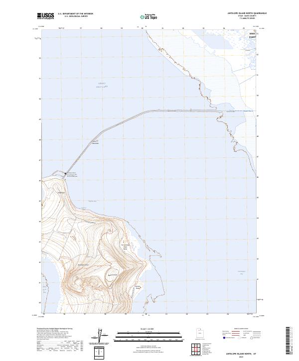
2023 Antelope Island North
Davis County, UT
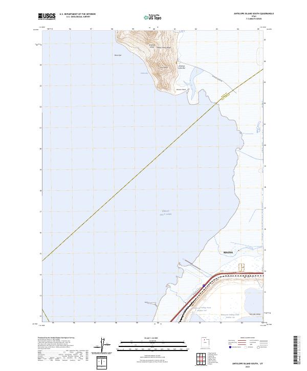
2023 Antelope Island South
Davis County, UT
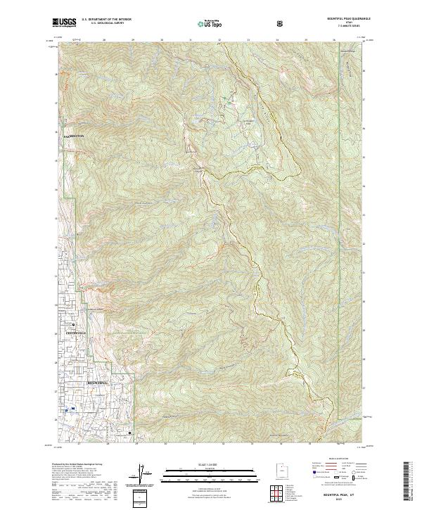
2023 Bountiful Peak
Davis County, UT
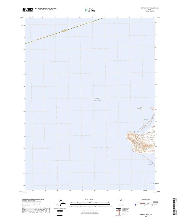
2023 Buffalo Point
Davis County, UT
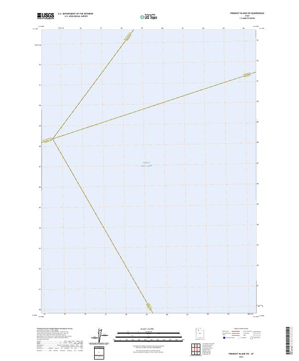
2023 Fremont Island SW
Davis County, UT
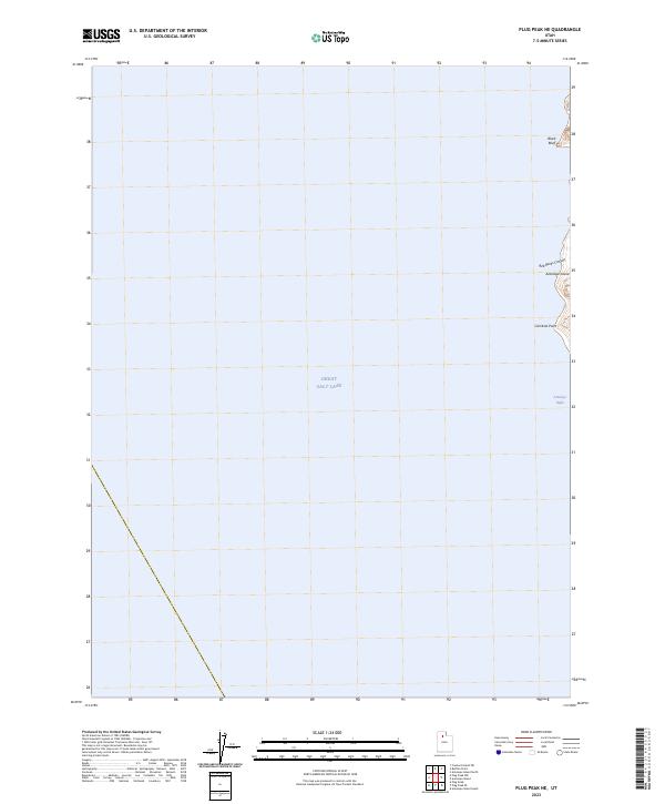
2023 Plug Peak NE
Davis County, UT
2023 Saltair NE
Davis County, UT