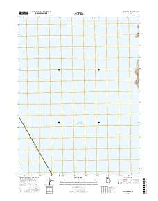
2023 Map of Plug Peak NE
USGS Topo · Published 2023About this map
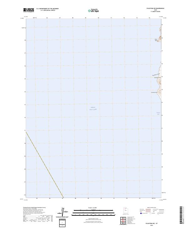
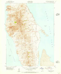
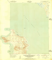
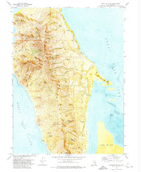
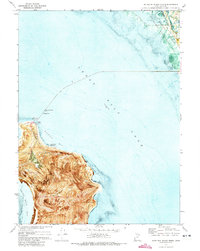
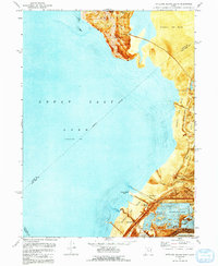
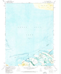
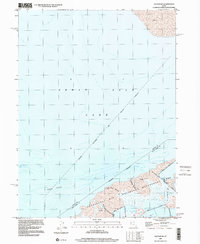
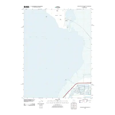
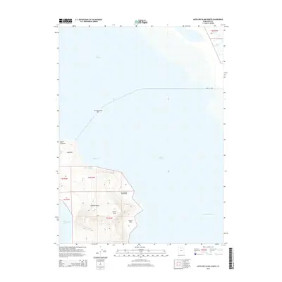
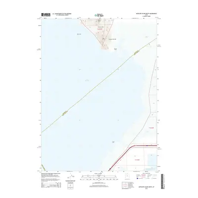
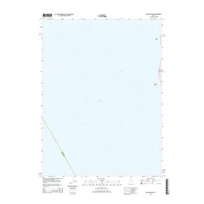
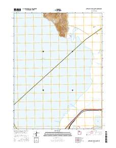
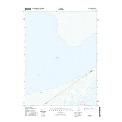
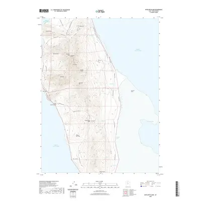
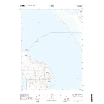
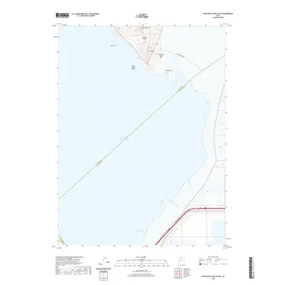
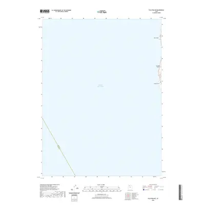
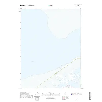
Great Salt Lake dominates this 2023 survey, which documents the western shoreline of Antelope Island in Davis County. The map provides a contemporary record of the island's coastline, where the waters of the Great Salt Lake meet the geological formations of the interior. The eastern edge of the sheet identifies several distinct coastal and topographical features, including Antelope Bight and the prominent heights of Black Bluff to the north. Further south along the island's edge, the map traces the shoreline through Red Rocks Canyon and past Cambria Point. This high-resolution U.S. Geological Survey provides essential data for researchers monitoring the lake's changing levels and the preservation of the island's shoreline geography.
Find a feature on this map
6 named features on this map. Tap any name to fly to it.
Don’t see what you’re looking for? This feature index may not catch every label — zoom into the map to look around manually.
Map Details
Editions of this 2023 Plug Peak NE Map
This is the sole edition of this map. No revisions or reprints were ever made.
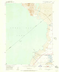
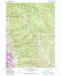
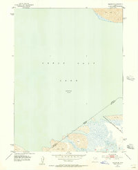
Historical Maps of Davis County Through Time
56 maps found
1952 Antelope Island South
Davis County, UT
1952 Bountiful Peak
Davis County, UT
1952 Saltair NE
Davis County, UT
1954 Antelope Island
Davis County, UT
1954 Antelope Island North
Davis County, UT
1968 Fremont Island SW
Davis County, UT
1972 Antelope Island
Davis County, UT
1972 Antelope Island North
Davis County, UT
1972 Antelope Island South
Davis County, UT
1972 Buffalo Point
Davis County, UT
1972 Plug Peak NE
Davis County, UT
1972 Saltair NE
Davis County, UT
1991 Antelope Island North
Davis County, UT
1991 Buffalo Point
Davis County, UT
1991 Fremont Island SW
Davis County, UT
1997 Saltair NE
Davis County, UT
1998 Bountiful Peak
Davis County, UT
2011 Antelope Island
Davis County, UT
2011 Antelope Island North
Davis County, UT
2011 Antelope Island South
Davis County, UT

2011 Bountiful Peak
Davis County, UT
2011 Buffalo Point
Davis County, UT

2011 Plug Peak NE
Davis County, UT
2011 Saltair NE
Davis County, UT
2014 Antelope Island
Davis County, UT
2014 Antelope Island North
Davis County, UT
2014 Antelope Island South
Davis County, UT

2014 Bountiful Peak
Davis County, UT
2014 Buffalo Point
Davis County, UT
2014 Fremont Island SW
Davis County, UT
2014 Plug Peak NE
Davis County, UT
2014 Saltair NE
Davis County, UT
2017 Antelope Island
Davis County, UT
2017 Antelope Island North
Davis County, UT
2017 Antelope Island South
Davis County, UT
2017 Bountiful Peak
Davis County, UT
2017 Buffalo Point
Davis County, UT
2017 Fremont Island SW
Davis County, UT
2017 Plug Peak NE
Davis County, UT
2017 Saltair NE
Davis County, UT
2020 Antelope Island
Davis County, UT
2020 Antelope Island North
Davis County, UT
2020 Antelope Island South
Davis County, UT
2020 Bountiful Peak
Davis County, UT
2020 Buffalo Point
Davis County, UT
2020 Fremont Island SW
Davis County, UT
2020 Plug Peak NE
Davis County, UT
2020 Saltair NE
Davis County, UT

2023 Antelope Island
Davis County, UT
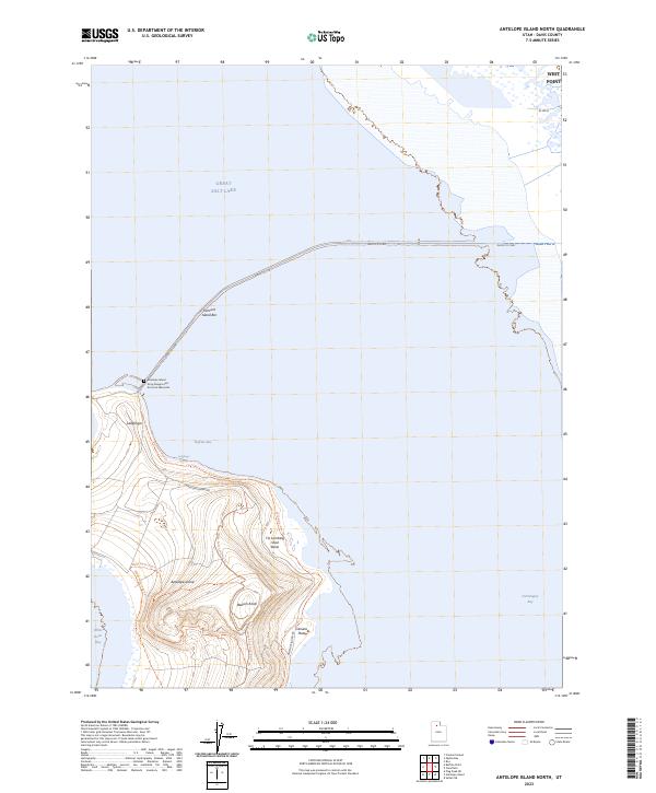
2023 Antelope Island North
Davis County, UT
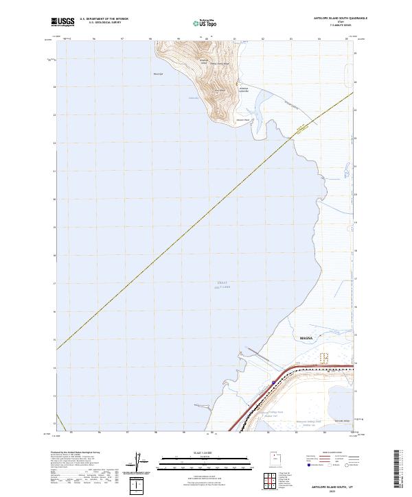
2023 Antelope Island South
Davis County, UT
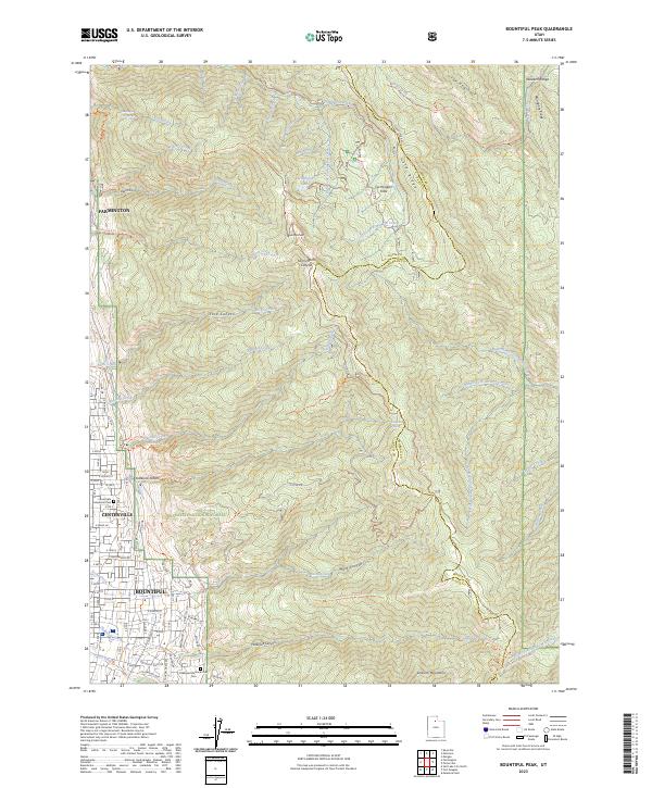
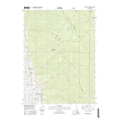
2023 Bountiful Peak
Davis County, UT
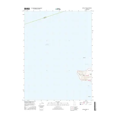
2023 Buffalo Point
Davis County, UT
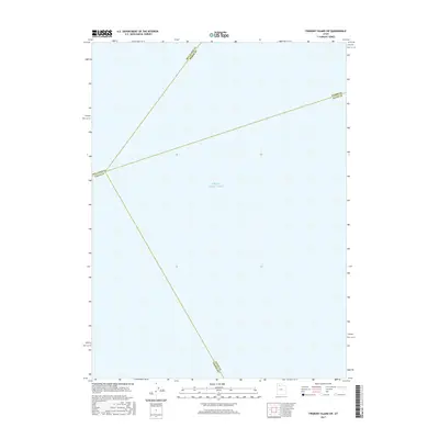
2023 Fremont Island SW
Davis County, UT
2023 Plug Peak NE
Davis County, UT
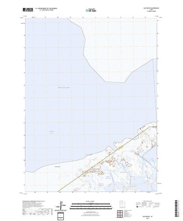
2023 Saltair NE
Davis County, UT