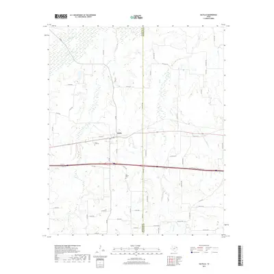
2019 Map of Saltillo
USGS Topo · Published 2019About this map
The settlement of Saltillo serves as the focal point for this landscape along the border of Hopkins and Franklin counties. The area is defined by a dense network of tributaries including Big Cr, Stouts Cr, and Denton Cr, which drain into the lowlands of White Oak Oak Cr to the north. These watercourses have long shaped the agricultural and transit patterns of the region, visible here in the web of county roads that navigate the intermittent wetlands and creeks.
Find a feature on this map
58 named features on this map. Tap any name to fly to it.
Don’t see what you’re looking for? This feature index may not catch every label — zoom into the map to look around manually.
Map Details
Editions of this 2019 Saltillo Map
This is the sole edition of this map. No revisions or reprints were ever made.
Other maps of this area

1953 · Texarkana
USGS Topo · 1:250,000

1956 · Texarkana
USGS Topo · 1:250,000

1962 · Sulphur Bluff
USGS Topo · 1:24,000

1963 · Mitchell Creek
USGS Topo · 1:24,000

1964 · Mount Vernon
USGS Topo · 1:24,000

1964 · Saltillo
USGS Topo · 1:24,000

1964 · Hagansport
USGS Topo · 1:24,000

1964 · Como
USGS Topo · 1:24,000

1964 · Purley
USGS Topo · 1:24,000
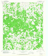
1965 · New Hope
USGS Topo · 1:24,000