Loading...
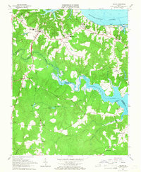
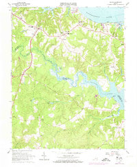
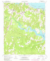
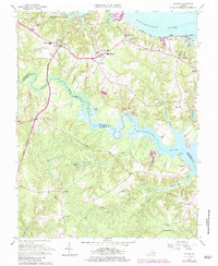
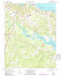
Loading map...1965 Map of Saluda
USGS Topo · Published 1967About this map
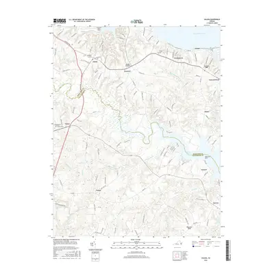
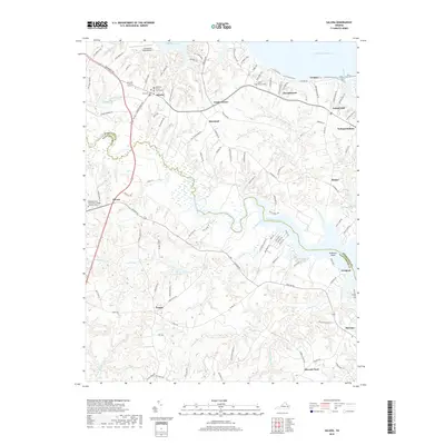
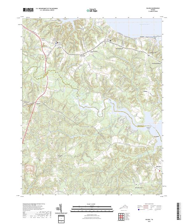
The Tidewater region of Virginia, centered around Saluda, is defined by the winding reaches of the Piankatank River and the broad Rappahannock River. During the mid-1960s, this landscape in Middlesex and Gloucester counties maintained a strong institutional character, anchored by schools such as Christchurch Sch and Middlesex High Sch. The map reveals a community deeply tied to its waterways, from the Public Landing on Urbanna Creek to the historic Burhans Wharf near Cooper.
Find a feature on this map
55 named features on this map. Tap any name to fly to it.
Don’t see what you’re looking for? This feature index may not catch every label — zoom into the map to look around manually.
Map Details
Date Portrayed1965
Date Published1967
PublisherU.S. Geological Survey
Map TypeTopographic
Scale1:24,000
Physical Dimensions22.1 x 26.9 inches
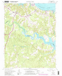
Editions of this 1965 Saluda Map
6 editions found
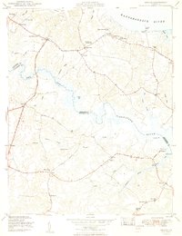
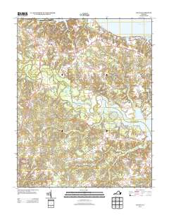
Historical Maps of Saluda Through Time
7 maps found

Featured Locations
Source Details
SourceU.S. Geological Survey
CopyrightPublic Domain