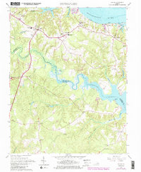
1965 Map of Saluda
USGS Topo · Published 1986About this map
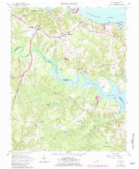
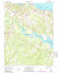
Saluda serves as a central hub on this Middle Peninsula map, where several major rural routes converge near the local courthouse and Middlesex High Sch. The landscape is defined by the deep, dendritic fingers of Dragon Swamp and Courthouse Swamp, which drain into the Piankatank River. To the north, the terrain gives way to the broad Rappahannock River shoreline, featuring historic maritime points like Burhans Wharf and Saluda Landing. The map captures a transition in local education and industry, showing established institutions like Christchurch Sch alongside a Sandpit and the Camp Nimcock Landing Strip. Small settlements such as Stormont, Glenns, and Locust Hill are connected by a network of local roads and religious centers, including Antioch Ch and Christ Ch, reflecting the deep-rooted community structure of mid-century Virginia.
Find a feature on this map
58 named features on this map. Tap any name to fly to it.
Don’t see what you’re looking for? This feature index may not catch every label — zoom into the map to look around manually.
Map Details
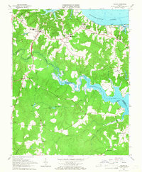
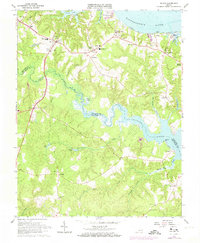
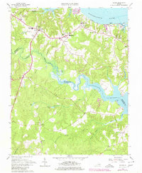
Editions of this 1965 Saluda Map
6 editions found
Other maps of this area

1906 · Williamsburg
USGS Topo · 1:62,500

1916 · Kilmarnock
USGS Topo · 1:48,000

1916 · Mathews
USGS Topo · 1:62,500

1917 · Urbanna
USGS Topo · 1:62,500

1917 · Kilmarnock
USGS Topo · 1:62,500

1917 · Mathews
USGS Topo · 1:62,500

1942 · Kilmarnock
USGS Topo · 1:62,500

1943 · Richmond
USGS Topo · 1:250,000
1946 · Urbanna
USGS Topo · 1:24,000

1948 · Ware Neck
USGS Topo · 1:24,000